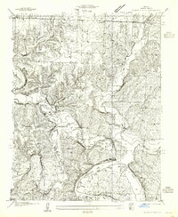
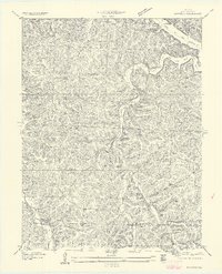
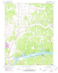
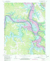
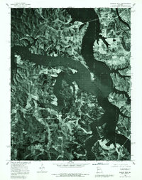
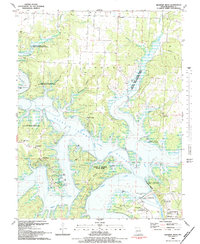
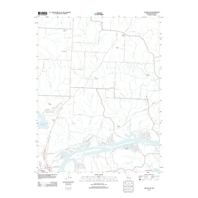
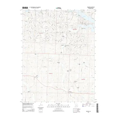
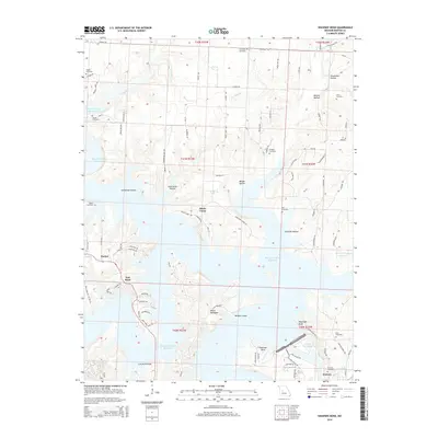
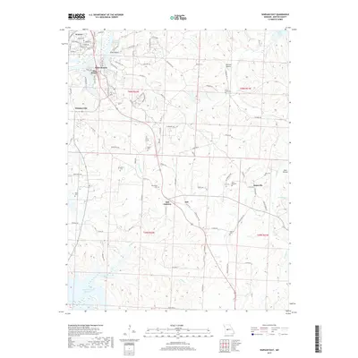
1955 Map of Shawnee Bend
USGS Topo · Published 1955About this map
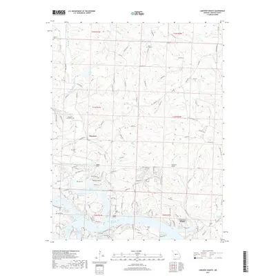
The Lake of the Ozarks and the Grand River dominate this mid-century survey of Benton County, Missouri. Based on field work conducted in 1936, the map documents a rural landscape defined by steep ridges and winding hollows such as Wilson Hollow and Little Barber Hollow. The settlement pattern is characterized by numerous country schools and small churches that served isolated farming communities, including Cherrydale Sch, Limestone Sch, and Hickory Chapel. Along the river's edge, dramatic natural landmarks like Devils Backbone and Kasinger Bluff overlook the sprawling water system. Genealogists will find particular value in the locations of family-named sites such as Baugh Cem and Kinkead Cem, as well as the proximity of these landmarks to the old road networks through White and Hindsey townships.
Find a feature on this map
32 named features on this map. Tap any name to fly to it.
Don’t see what you’re looking for? This feature index may not catch every label — zoom into the map to look around manually.
Map Details
Editions of this 1955 Shawnee Bend Map
This is the sole edition of this map. No revisions or reprints were ever made.
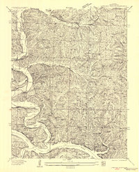
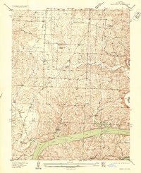
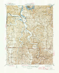
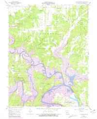
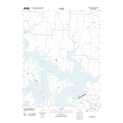
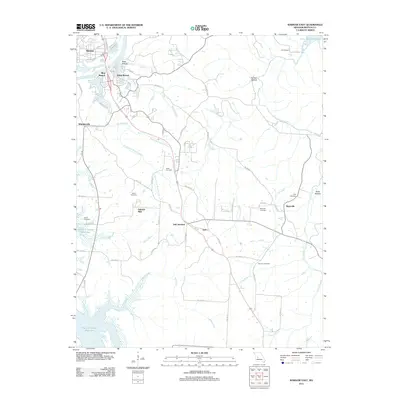
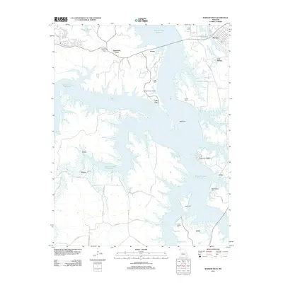
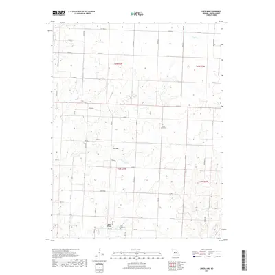
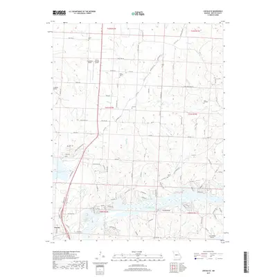
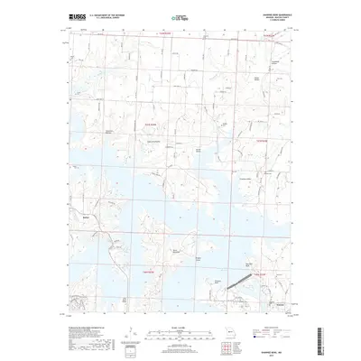
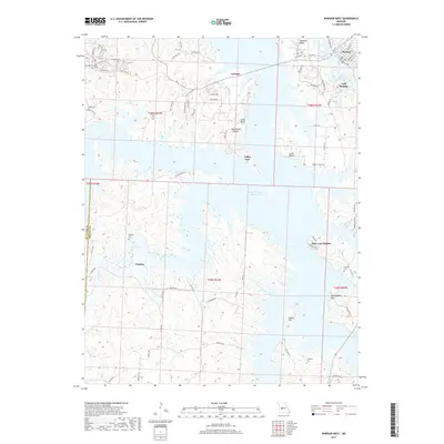
Historical Maps of Warsaw Through Time
53 maps found

1935 Dell
Benton County, MO

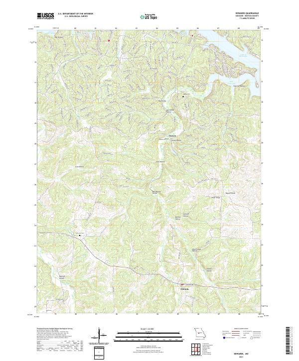
1935 Edwards
Benton County, MO
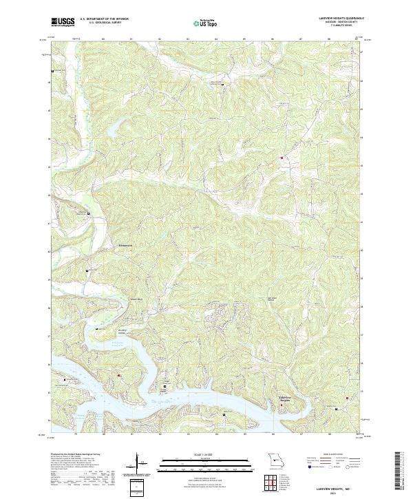
1936 Lakeview Heights
Benton County, MO
1936 Schuyler
Benton County, MO

1936 Shawnee Bend
Benton County, MO
1945 Fristoe
Benton County, MO
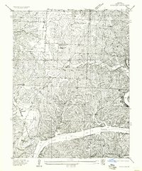
1955 Shawnee Bend
Benton County, MO
1957 Edwards
Benton County, MO
1957 Schuyler
Benton County, MO
1959 Edwards
Benton County, MO
1959 Lakeview Heights
Benton County, MO
1959 Lincoln SE
Benton County, MO
1959 Shawnee Bend
Benton County, MO
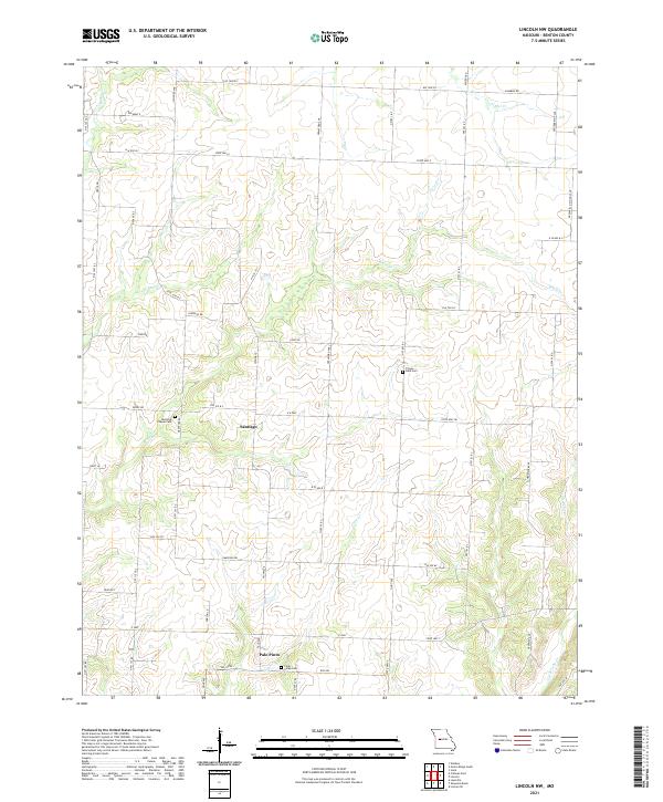
1961 Lincoln NW
Benton County, MO
1964 Warsaw East
Benton County, MO
1965 Warsaw West
Benton County, MO
1980 Lincoln SE
Benton County, MO
1980 Shawnee Bend
Benton County, MO
1980 Warsaw East
Benton County, MO
1980 Warsaw West
Benton County, MO
1983 Edwards
Benton County, MO

1983 Harry S Truman Reservoir
Benton County, MO
1983 Lakeview Heights
Benton County, MO
1983 Lincoln SE
Benton County, MO
1983 Shawnee Bend
Benton County, MO
2011 Edwards
Benton County, MO
2011 Lakeview Heights
Benton County, MO
2011 Lincoln NW
Benton County, MO
2011 Lincoln SE
Benton County, MO
2011 Shawnee Bend
Benton County, MO
2011 Warsaw East
Benton County, MO
2011 Warsaw West
Benton County, MO
2014 Edwards
Benton County, MO
2014 Lakeview Heights
Benton County, MO
2014 Lincoln NW
Benton County, MO
2014 Lincoln SE
Benton County, MO
2014 Shawnee Bend
Benton County, MO
2015 Warsaw East
Benton County, MO
2015 Warsaw West
Benton County, MO
2017 Edwards
Benton County, MO
2017 Lakeview Heights
Benton County, MO
2017 Lincoln NW
Benton County, MO
2017 Lincoln SE
Benton County, MO
2017 Shawnee Bend
Benton County, MO
2017 Warsaw East
Benton County, MO
2017 Warsaw West
Benton County, MO
2021 Edwards
Benton County, MO
2021 Lakeview Heights
Benton County, MO
2021 Lincoln NW
Benton County, MO
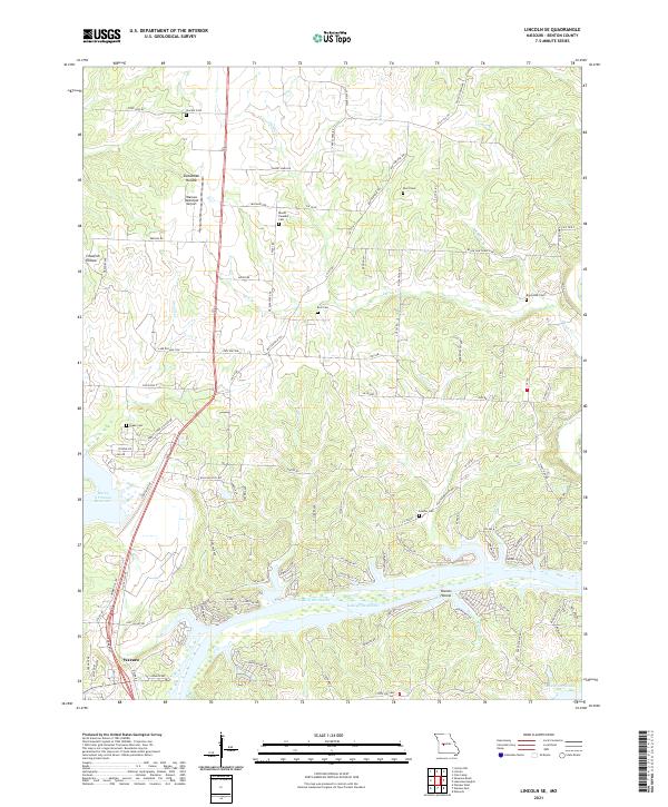
2021 Lincoln SE
Benton County, MO
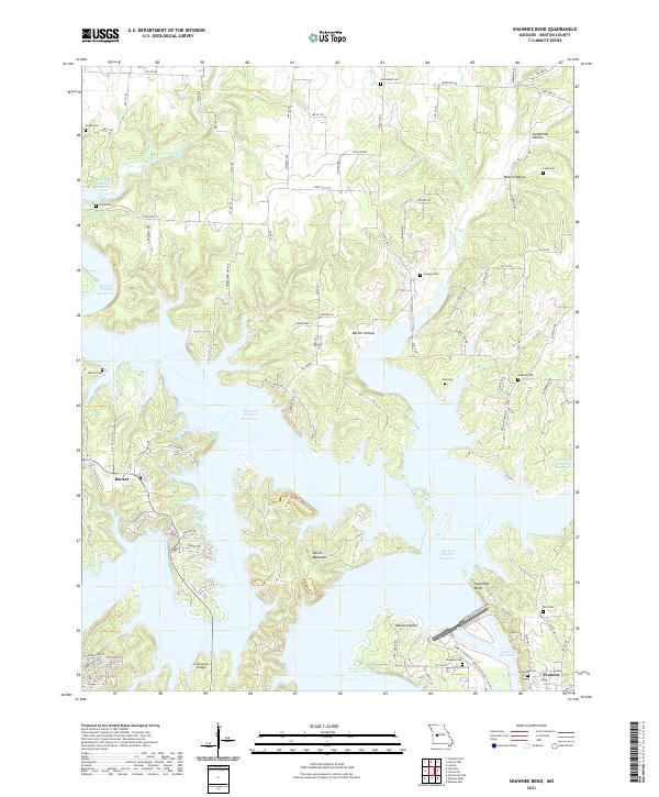
2021 Shawnee Bend
Benton County, MO
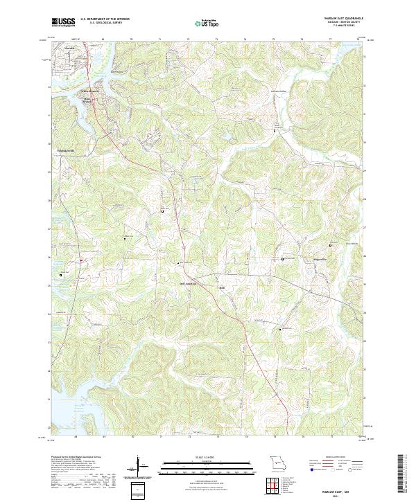
2021 Warsaw East
Benton County, MO
2021 Warsaw West
Benton County, MO