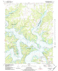
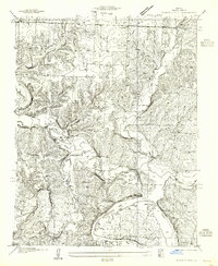
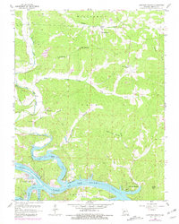
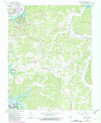
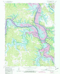
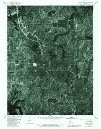
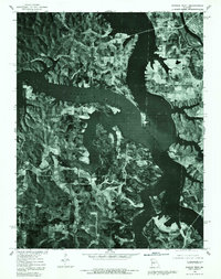
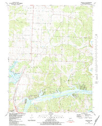
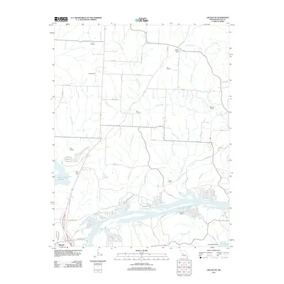
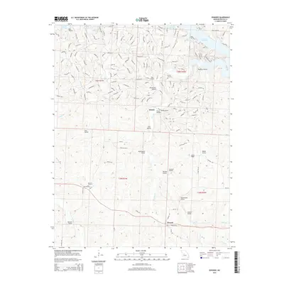
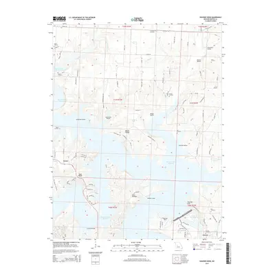
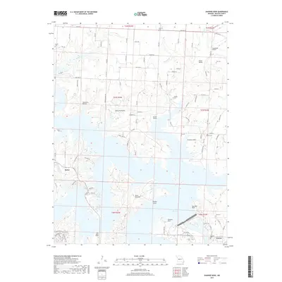
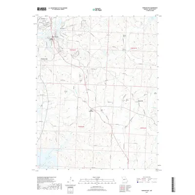
1983 Map of Shawnee Bend
USGS Topo · Published 1983About this map
The Harry S Truman Reservoir dominates this 1980s landscape, illustrating a period of massive transformation where the waters of the South Grand River and Osage River converge. At the center of this engineering effort stands the Harry S Truman Dam, which reconfigured the local geography from traditional river bottoms into a complex of public recreation and wildlife areas. While the reservoir represents a modern era of water management, the map preserves the names of older landmarks like Rackett and Macks Camp along the fluctuating shoreline.
Find a feature on this map
60 named features on this map. Tap any name to fly to it.
Don’t see what you’re looking for? This feature index may not catch every label — zoom into the map to look around manually.
Map Details
Editions of this 1983 Shawnee Bend Map
This is the sole edition of this map. No revisions or reprints were ever made.
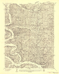
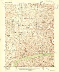
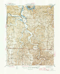
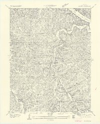
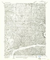
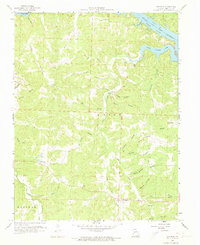
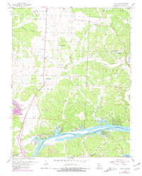
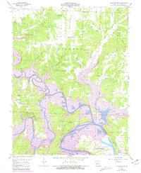
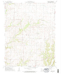
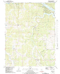
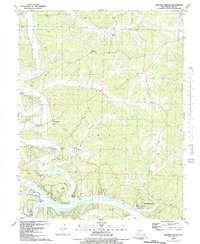
Historical Maps of Warsaw Through Time
53 maps found

1935 Dell
Benton County, MO

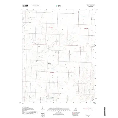
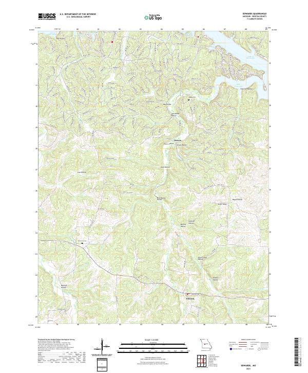
1935 Edwards
Benton County, MO
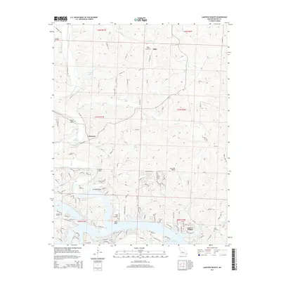
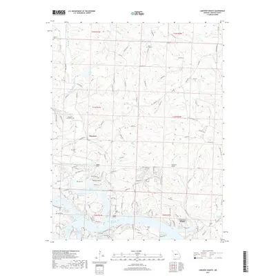
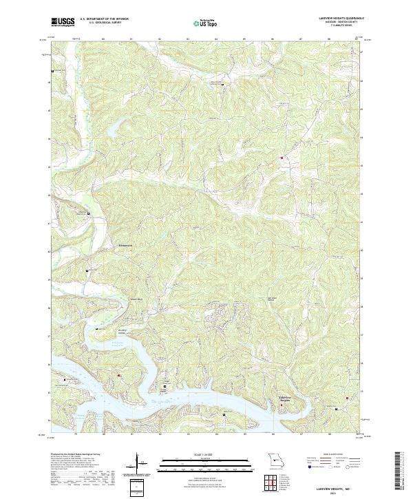
1936 Lakeview Heights
Benton County, MO
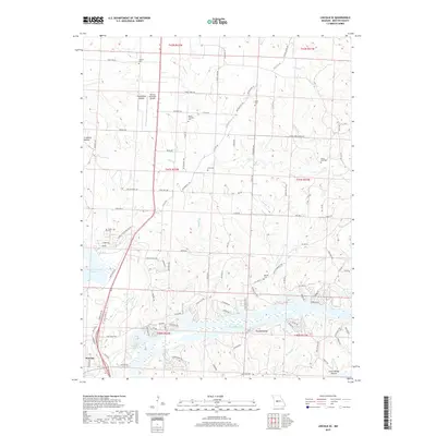
1936 Schuyler
Benton County, MO

1936 Shawnee Bend
Benton County, MO
1945 Fristoe
Benton County, MO
1955 Shawnee Bend
Benton County, MO
1957 Edwards
Benton County, MO
1957 Schuyler
Benton County, MO
1959 Edwards
Benton County, MO
1959 Lakeview Heights
Benton County, MO
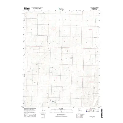
1959 Lincoln SE
Benton County, MO
1959 Shawnee Bend
Benton County, MO
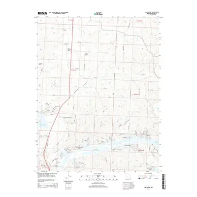
1961 Lincoln NW
Benton County, MO
1964 Warsaw East
Benton County, MO
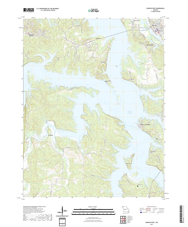
1965 Warsaw West
Benton County, MO
1980 Lincoln SE
Benton County, MO
1980 Shawnee Bend
Benton County, MO
1980 Warsaw East
Benton County, MO
1980 Warsaw West
Benton County, MO
1983 Edwards
Benton County, MO

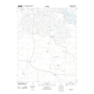
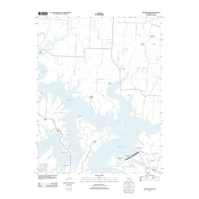
1983 Harry S Truman Reservoir
Benton County, MO
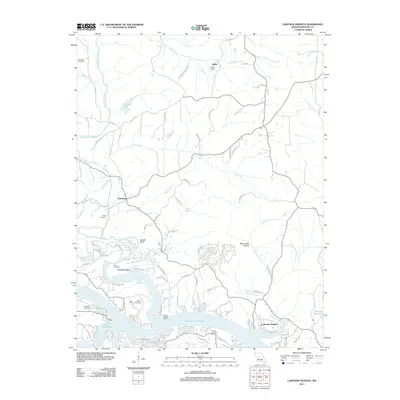
1983 Lakeview Heights
Benton County, MO
1983 Lincoln SE
Benton County, MO
1983 Shawnee Bend
Benton County, MO
2011 Edwards
Benton County, MO
2011 Lakeview Heights
Benton County, MO
2011 Lincoln NW
Benton County, MO
2011 Lincoln SE
Benton County, MO
2011 Shawnee Bend
Benton County, MO
2011 Warsaw East
Benton County, MO
2011 Warsaw West
Benton County, MO
2014 Edwards
Benton County, MO
2014 Lakeview Heights
Benton County, MO
2014 Lincoln NW
Benton County, MO
2014 Lincoln SE
Benton County, MO
2014 Shawnee Bend
Benton County, MO
2015 Warsaw East
Benton County, MO
2015 Warsaw West
Benton County, MO
2017 Edwards
Benton County, MO
2017 Lakeview Heights
Benton County, MO
2017 Lincoln NW
Benton County, MO
2017 Lincoln SE
Benton County, MO
2017 Shawnee Bend
Benton County, MO
2017 Warsaw East
Benton County, MO
2017 Warsaw West
Benton County, MO
2021 Edwards
Benton County, MO
2021 Lakeview Heights
Benton County, MO
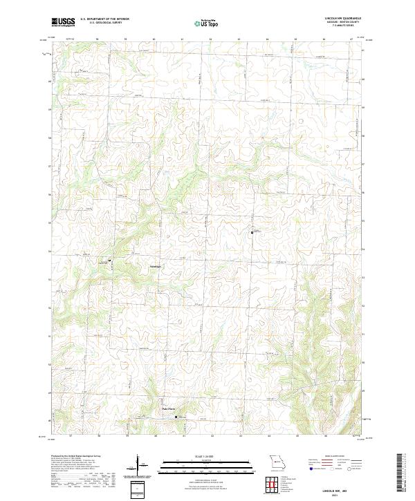
2021 Lincoln NW
Benton County, MO
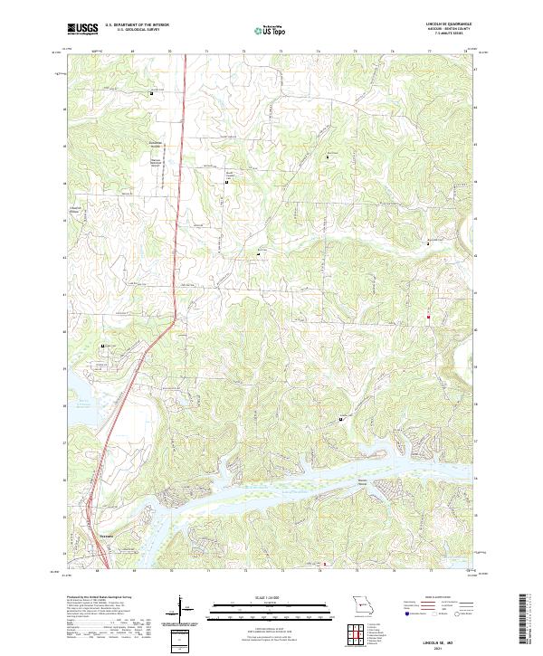
2021 Lincoln SE
Benton County, MO
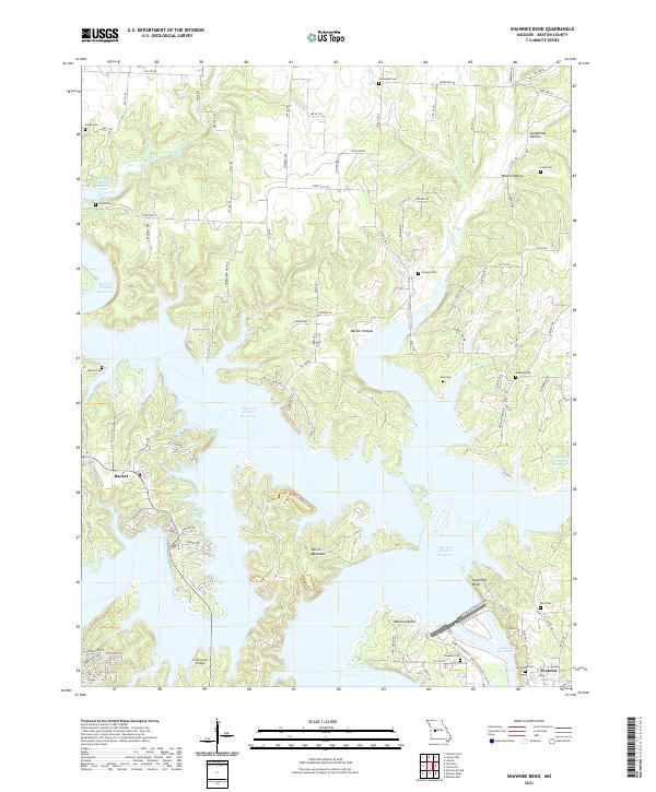
2021 Shawnee Bend
Benton County, MO
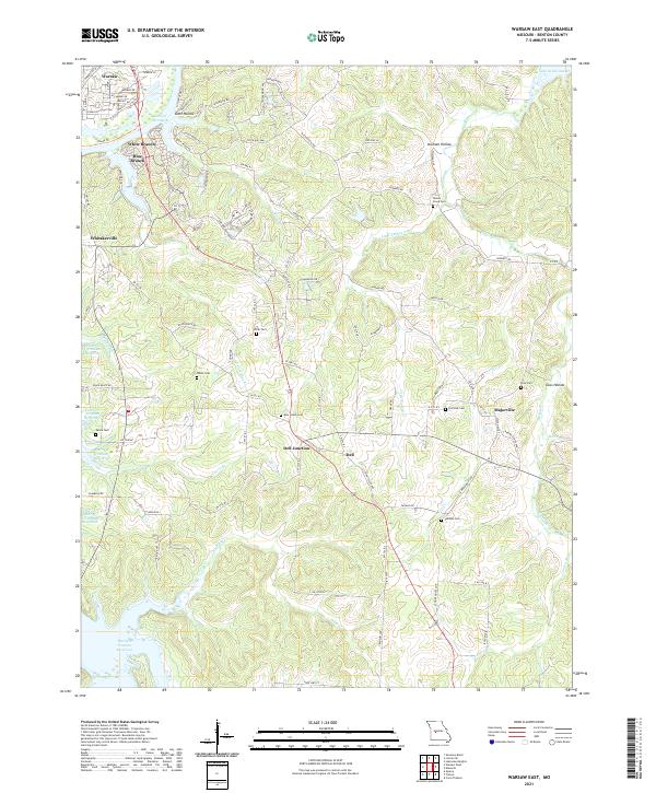
2021 Warsaw East
Benton County, MO
2021 Warsaw West
Benton County, MO