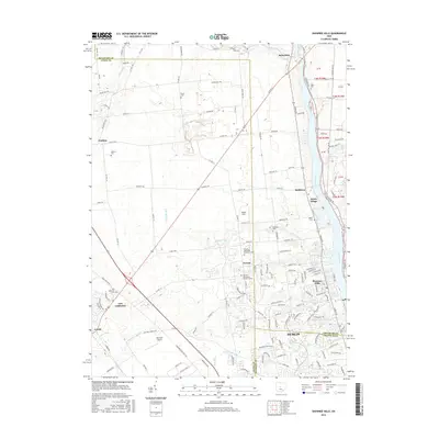
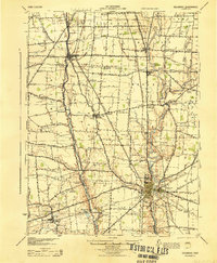
2016 Map of Shawnee Hills
USGS Topo · Published 2016About this map
The Scioto River corridor defines the eastern edge of this 2016 survey, where the waters of the Golden Bear Reservoir meet a landscape transitioning from agricultural roots to modern suburban expansion. The map details the intersection of Delaware, Union, and Franklin counties, showing the northern reaches of Dublin and the established communities of Shawnee Hills and Scioto Village.
Find a feature on this map
148 named features on this map. Tap any name to fly to it.
Don’t see what you’re looking for? This feature index may not catch every label — zoom into the map to look around manually.
Map Details
Editions of this 2016 Shawnee Hills Map
This is the sole edition of this map. No revisions or reprints were ever made.
Other maps of this area

1901 · Dublin
USGS Topo · 1:62,500

1903 · Dublin
USGS Topo · 1:62,500
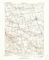
1913 · Richwood
USGS Topo · 1:62,500
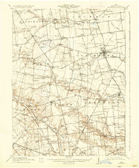
1915 · Richwood
USGS Topo · 1:62,500
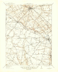
1916 · Milford Center
USGS Topo · 1:62,500
1924 · Delaware
USGS Topo · 1:62,500
1925 · Delaware
USGS Topo · 1:62,500
1944 · Richwood
USGS Topo · 1:62,500
1944 · Milford Center
USGS Topo · 1:62,500
1944 · Delaware
USGS Topo · 1:62,500