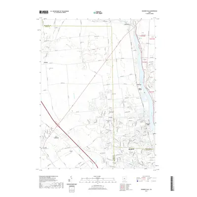
2019 Map of Shawnee Hills
USGS Topo · Published 2019About this map
Dublin and its northern suburban reaches define this 2019 survey, where the winding Scioto River serves as a primary geographical anchor. The landscape transition from the developed streets of Shawnee Hills to the more rural agricultural tracts of Jerome and Watkins is clearly documented. Along the river corridor, settlements like Rathbone and Scioto Village sit near historical burial grounds including White Cem and Oller Cem, providing essential points of reference for genealogists.
Find a feature on this map
159 named features on this map. Tap any name to fly to it.
Don’t see what you’re looking for? This feature index may not catch every label — zoom into the map to look around manually.
Map Details
Editions of this 2019 Shawnee Hills Map
This is the sole edition of this map. No revisions or reprints were ever made.
Other maps of this area

1901 · Dublin
USGS Topo · 1:62,500

1903 · Dublin
USGS Topo · 1:62,500

1913 · Richwood
USGS Topo · 1:62,500

1915 · Richwood
USGS Topo · 1:62,500

1916 · Milford Center
USGS Topo · 1:62,500

1924 · Delaware
USGS Topo · 1:62,500

1925 · Delaware
USGS Topo · 1:62,500

1944 · Richwood
USGS Topo · 1:62,500

1944 · Milford Center
USGS Topo · 1:62,500

1944 · Delaware
USGS Topo · 1:62,500