2023 Map of Shawnee Hills
USGS Topo · Published 2023About this map
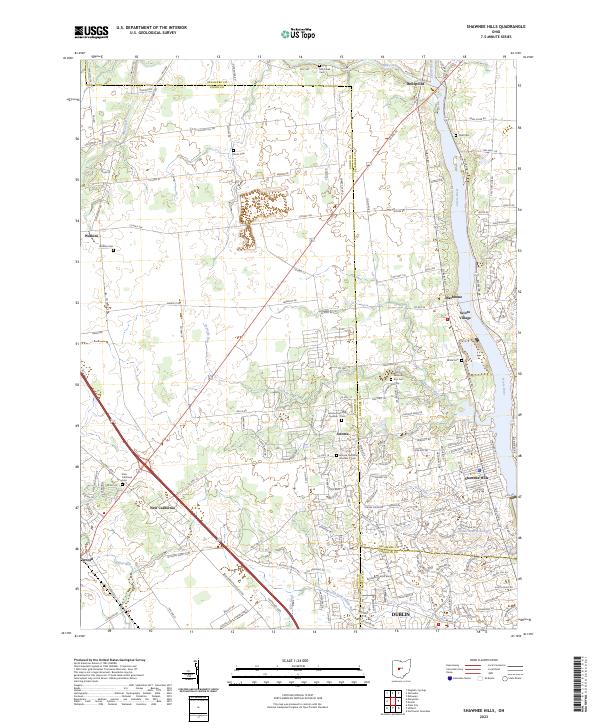
The Scioto River corridor defines the eastern edge of this modern survey, where suburban expansion from Dublin meets the agricultural traditions of Union and Delaware Counties. The landscape is marked by a high density of small family and township burying grounds, including the Jerome Township Number 1 Cem and Jerome Township Number 2 Cem near Jerome. These sites, along with Bouic Cem and White Cem, provide essential anchor points for genealogical research in an area seeing rapid residential development. Drainage patterns like Eversole Run and Kile Ditch illustrate the historical management of the plains, while the Golden Bear Reservoir indicates more contemporary infrastructure. Small settlements such as New California, Watkins, and Rathbone maintain their identity even as the regional network of roads like Us Rte 42 facilitates growth toward the northern reaches of the metropolitan area.
Find a feature on this map
163 named features on this map. Tap any name to fly to it.
Don’t see what you’re looking for? This feature index may not catch every label — zoom into the map to look around manually.
Map Details
Editions of this 2023 Shawnee Hills Map
This is the sole edition of this map. No revisions or reprints were ever made.
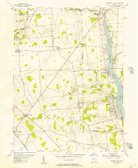
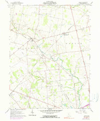
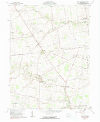
Historical Maps of Jerome Township Through Time
7 maps found
Featured Locations
- Washington Township, OH
- Shawnee Hills, OH
- Concord Township, OH
- Dublin, Washington Township
- Jerome, Jerome Township