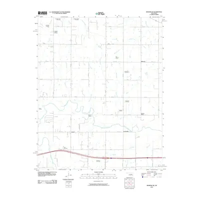
2010 Map of Shawnee NE
USGS Topo · Published 2010About this map
The North Canadian River meanders across this central Oklahoma landscape, defining the transition between the agricultural uplands and the river valley. In the early 21st century, the region's economy remains tied to the land, evidenced by the West Bellemont Oil Field and the Northeast Shawnee Oil Field. Small rural communities such as Bellemont, Garden Grove, and Johnson are scattered throughout the territory, often centered around historical crossroads.
Find a feature on this map
43 named features on this map. Tap any name to fly to it.
Don’t see what you’re looking for? This feature index may not catch every label — zoom into the map to look around manually.
Map Details
Editions of this 2010 Shawnee NE Map
This is the sole edition of this map. No revisions or reprints were ever made.
Other maps of this area

1896 · Seminole and Prague
USGS Topo · 1:125,000

1905 · Chandler
USGS Topo · 1:62,500

1907 · Chandler
USGS Topo · 1:62,500

1909 · Shawnee
USGS Topo · 1:62,500

1929 · Stroud
USGS Topo · 1:62,500

1932 · Stroud
USGS Topo · 1:62,500

1954 · Oklahoma City
USGS Topo · 1:250,000

1957 · Oklahoma City
USGS Topo · 1:250,000

1963 · Oklahoma City
USGS Topo · 1:250,000

1967 · Prague SW
USGS Topo · 1:24,000