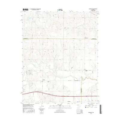
2016 Map of Shawnee NE
USGS Topo · Published 2016About this map
Earlsboro sits at the southern edge of this Oklahoma landscape, where the terrain is shaped by the winding course of the North Canadian River. The map reveals a transition from the agricultural plateaus of Lincoln Co in the north to the river-rich bottomlands of Pottawatomie Co and Seminole Co to the south. Numerous small settlements and rural crossroads like Bellemont, Garden Grove, and Econtuchka dot the section lines, reflecting a pattern of decentralized settlement typical of this region's post-allotment history.
Find a feature on this map
78 named features on this map. Tap any name to fly to it.
Don’t see what you’re looking for? This feature index may not catch every label — zoom into the map to look around manually.
Map Details
Editions of this 2016 Shawnee NE Map
This is the sole edition of this map. No revisions or reprints were ever made.
Other maps of this area

1896 · Seminole and Prague
USGS Topo · 1:125,000

1905 · Chandler
USGS Topo · 1:62,500

1907 · Chandler
USGS Topo · 1:62,500

1909 · Shawnee
USGS Topo · 1:62,500

1929 · Stroud
USGS Topo · 1:62,500

1932 · Stroud
USGS Topo · 1:62,500

1954 · Oklahoma City
USGS Topo · 1:250,000

1957 · Oklahoma City
USGS Topo · 1:250,000

1963 · Oklahoma City
USGS Topo · 1:250,000

1967 · Prague SW
USGS Topo · 1:24,000