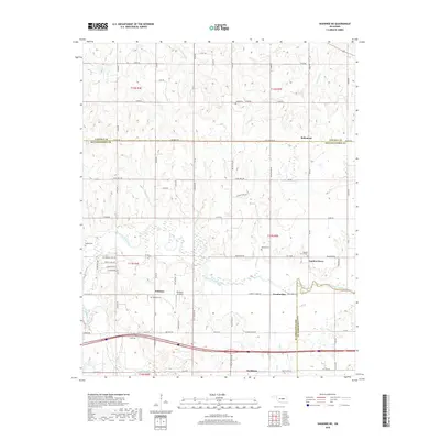
2018 Map of Shawnee NE
USGS Topo · Published 2018About this map
The North Canadian River winds through this section of central Oklahoma, defining a landscape marked by small rural communities and local family heritage. The settlement of Earlsboro sits near the southern edge, while the town of Johnson and the historical locality of Econtuchka occupy the central plains. Further east, the community of Garden Grove is anchored by the Garden Grove Cem, one of several local burial grounds including Wakole Cem and McKosta Cem that reflect the area's ancestral ties.
Find a feature on this map
57 named features on this map. Tap any name to fly to it.
Don’t see what you’re looking for? This feature index may not catch every label — zoom into the map to look around manually.
Map Details
Editions of this 2018 Shawnee NE Map
This is the sole edition of this map. No revisions or reprints were ever made.
Other maps of this area

1896 · Seminole and Prague
USGS Topo · 1:125,000

1905 · Chandler
USGS Topo · 1:62,500

1907 · Chandler
USGS Topo · 1:62,500

1909 · Shawnee
USGS Topo · 1:62,500

1929 · Stroud
USGS Topo · 1:62,500

1932 · Stroud
USGS Topo · 1:62,500

1954 · Oklahoma City
USGS Topo · 1:250,000

1957 · Oklahoma City
USGS Topo · 1:250,000

1963 · Oklahoma City
USGS Topo · 1:250,000

1967 · Prague SW
USGS Topo · 1:24,000