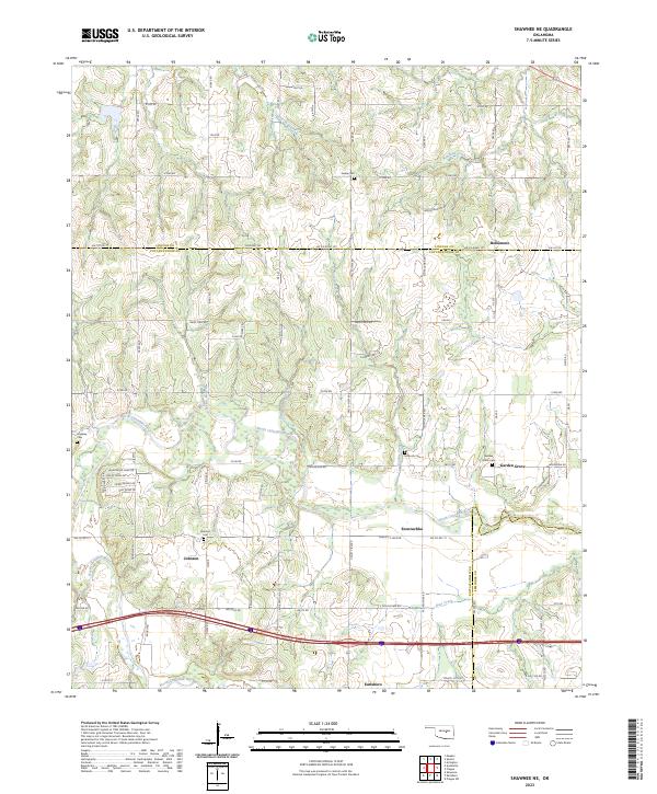
2023 Map of Shawnee NE
USGS Topo · Published 2023About this map
The North Canadian River meanders across this landscape, defining the boundary between Pottawatomie, Lincoln, and Seminole counties. This recent survey captures the rural layout of the region, where family and community heritage is preserved in numerous burial grounds such as Gable Cem, Wakolee Cem, and Johnson Cem. Small settlements like Bellemont and Garden Grove anchor the road network, which transitions from traditional section-line roads to residential developments such as those found along Candlewood Dr. The presence of Stump Dance Creek and Quapaw Creek feeding into the river system illustrates the well-watered character of these plains. In the southern portion of the map, the community of Earlsboro sits near the multi-lane transportation corridor that bypasses the smaller historical hamlets like Econtuchka, reflecting the evolving pace of movement through the Oklahoma interior.
Find a feature on this map
55 named features on this map. Tap any name to fly to it.
Don’t see what you’re looking for? This feature index may not catch every label — zoom into the map to look around manually.
Map Details
Editions of this 2023 Shawnee NE Map
This is the sole edition of this map. No revisions or reprints were ever made.
Other maps of this area

1896 · Seminole and Prague
USGS Topo · 1:125,000

1905 · Chandler
USGS Topo · 1:62,500

1907 · Chandler
USGS Topo · 1:62,500

1909 · Shawnee
USGS Topo · 1:62,500

1929 · Stroud
USGS Topo · 1:62,500

1932 · Stroud
USGS Topo · 1:62,500

1954 · Oklahoma City
USGS Topo · 1:250,000

1957 · Oklahoma City
USGS Topo · 1:250,000

1963 · Oklahoma City
USGS Topo · 1:250,000

1967 · Prague SW
USGS Topo · 1:24,000