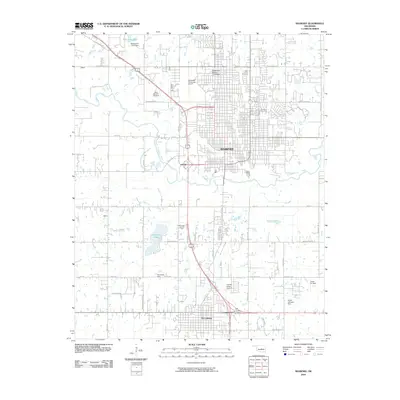
2010 Map of Shawnee
USGS Topo · Published 2010About this map
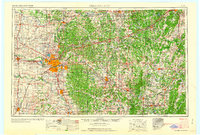
The Shawnee and Tecumseh corridor in central Oklahoma is defined by a dense network of municipal expansion and energy production as of 2010. The North Canadian River meanders through the heart of the region, flanked by smaller tributaries like Deer Creek and Squirrel Creek. Academic and civic life is centered around the campus of Oklahoma Baptist University, while the area's spiritual and family history is anchored by Saint Benedict Cemetery and Fairview Cemetery.
Find a feature on this map
50 named features on this map. Tap any name to fly to it.
Don’t see what you’re looking for? This feature index may not catch every label — zoom into the map to look around manually.
Map Details
Editions of this 2010 Shawnee Map
This is the sole edition of this map. No revisions or reprints were ever made.
Other maps of this area
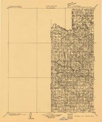
1896 · Seminole and Prague
USGS Topo · 1:125,000
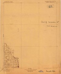
1898 · Purcell
USGS Topo · 1:125,000
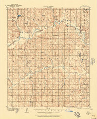
1907 · Maud
USGS Topo · 1:62,500
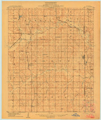
1908 · Maud
USGS Topo · 1:62,500
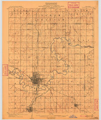
1909 · Shawnee
USGS Topo · 1:62,500
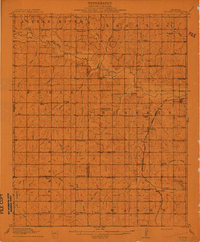
1910 · McComb
USGS Topo · 1:62,500
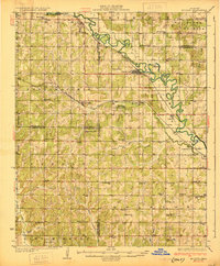
1930 · McLoud
USGS Topo · 1:62,500

1954 · Oklahoma City
USGS Topo · 1:250,000

1957 · Oklahoma City
USGS Topo · 1:250,000
1963 · Oklahoma City
USGS Topo · 1:250,000