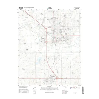
2016 Map of Shawnee
USGS Topo · Published 2016About this map
Shawnee and Tecumseh anchor this central Oklahoma landscape, where the North Canadian River winds through the eastern portion of the quadrangle. The map highlights a significant concentration of higher education and religious institutions, including Saint Gregory's University, Oklahoma Baptist University, and the Family of Faith College. These campuses are situated near long-standing community landmarks such as Saint Gregory's Abbey Cemetery and Fairview Cemetery.
Find a feature on this map
194 named features on this map. Tap any name to fly to it.
Don’t see what you’re looking for? This feature index may not catch every label — zoom into the map to look around manually.
Map Details
Editions of this 2016 Shawnee Map
This is the sole edition of this map. No revisions or reprints were ever made.
Other maps of this area

1896 · Seminole and Prague
USGS Topo · 1:125,000

1898 · Purcell
USGS Topo · 1:125,000

1907 · Maud
USGS Topo · 1:62,500

1908 · Maud
USGS Topo · 1:62,500

1909 · Shawnee
USGS Topo · 1:62,500

1910 · McComb
USGS Topo · 1:62,500

1930 · McLoud
USGS Topo · 1:62,500

1954 · Oklahoma City
USGS Topo · 1:250,000

1957 · Oklahoma City
USGS Topo · 1:250,000

1963 · Oklahoma City
USGS Topo · 1:250,000