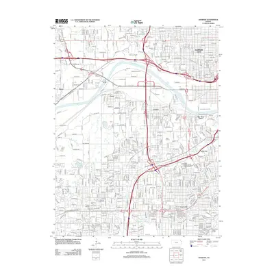
2012 Map of Shawnee
USGS Topo · Published 2012About this map
The Kansas River corridor defines the industrial and residential landscape of this 2012 survey, where the convergence of major rail lines and waterways shaped the growth of eastern Kansas. This area is a dense tapestry of history and urban development, featuring the distinct neighborhoods of Argentine, Turner, and Muncie. The map reveals a high concentration of significant burial sites, including the Tensquatawa Burial Ground and the Shawnee Indian Cem, providing critical touchpoints for genealogical research and local history.
Find a feature on this map
387 named features on this map. Tap any name to fly to it.
Don’t see what you’re looking for? This feature index may not catch every label — zoom into the map to look around manually.
Map Details
Editions of this 2012 Shawnee Map
This is the sole edition of this map. No revisions or reprints were ever made.
Other maps of this area

1887 · Olathe
USGS Topo · 1:125,000

1890 · Kansas City
USGS Topo · 1:125,000

1893 · Olathe
USGS Topo · 1:125,000

1894 · Kansas City
USGS Topo · 1:125,000

1934 · Bonner Springs
USGS Topo · 1:48,000

1934 · Grandview
USGS Topo · 1:24,000

1934 · Shawnee
USGS Topo · 1:24,000

1934 · Edwardsville
USGS Topo · 1:24,000

1934 · Wolcott
USGS Topo · 1:24,000

1935 · Olathe
USGS Topo · 1:24,000