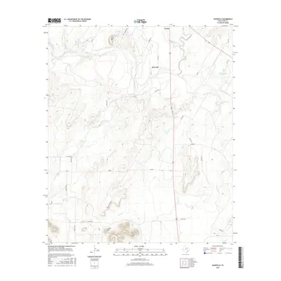
2016 Map of Shawville
USGS Topo · Published 2016About this map
Colorado River winding through the scrubland of Coke County anchors this 2016 survey of the area surrounding Shawville. The terrain is defined by dramatic elevation changes, from the alluvial plains of the river valley to prominent heights like Cedar Mtn and Juniper Peak. Numerous drainage systems, including Kickapoo Creek, Double Barrel Cr, and Turkey Cr, dissect the landscape, illustrating the complex watershed that feeds into the river and the man-made W D Coleman Lake.
Find a feature on this map
32 named features on this map. Tap any name to fly to it.
Don’t see what you’re looking for? This feature index may not catch every label — zoom into the map to look around manually.
Map Details
Editions of this 2016 Shawville Map
This is the sole edition of this map. No revisions or reprints were ever made.
Other maps of this area

1891 · Hayrick
USGS Topo · 1:125,000

1894 · Hayrick
USGS Topo · 1:125,000

1921 · Bronte
USGS Topo · 1:31,680

1921 · Baker Flat
USGS Topo · 1:31,680

1921 · Maverick
USGS Topo · 1:31,680

1921 · Mays School
USGS Topo · 1:31,680

1954 · San Angelo
USGS Topo · 1:250,000

1957 · Miles
USGS Topo · 1:62,500

1957 · Harriet
USGS Topo · 1:62,500

1958 · San Angelo
USGS Topo · 1:250,000