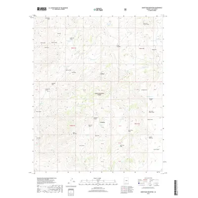
2018 Map of Sheep Basin Mountain
USGS Topo · Published 2018About this map
Gallups and Coffeepot represent the sparse human footprint within the southern reaches of the Tonto National Forest in this 2018 survey. The landscape is defined by the high, broken terrain of the Sierra Ancha range, where elevations shift rapidly between prominent peaks like Sheep Basin Mtn and deep incisions such as Cocomunga Canyon and Hole in the Ground Canyon.
Find a feature on this map
58 named features on this map. Tap any name to fly to it.
Don’t see what you’re looking for? This feature index may not catch every label — zoom into the map to look around manually.
Map Details
Editions of this 2018 Sheep Basin Mountain Map
This is the sole edition of this map. No revisions or reprints were ever made.
Other maps of this area

1887 · Verde
USGS Topo · 1:250,000

1892 · Verde
USGS Topo · 1:250,000

1907 · Roosevelt
USGS Topo · 1:125,000

1909 · Four Peaks
USGS Topo · 1:125,000

1912 · Roosevelt
USGS Topo · 1:125,000

1936 · Payson
USGS Topo · 1:48,000

1937 · Diamond Butte
USGS Topo · 1:48,000

1942 · Payson
USGS Topo · 1:62,500

1943 · Diamond Butte
USGS Topo · 1:62,500

1954 · Holbrook
USGS Topo · 1:250,000