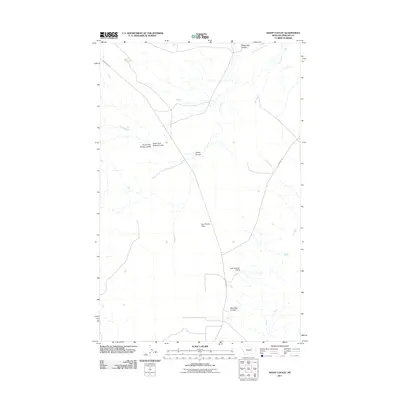
2011 Map of Sheep Coulee
USGS Topo · Published 2011About this map
Sun Prairie Flats dominates the center of this Phillips County landscape, a region defined by its complex network of seasonal drainages and water management features. At the heart of the area, Sheep Coulee is formed by the convergence of the North Fork Sheep Coulee and South Fork Sheep Coulee, demonstrating the natural erosion patterns of the northern Montana plains. The presence of the Kelso Number 3 Dam suggests the importance of water storage in this arid environment, where intermittent streams like Flat Creek and Little Sevenmile Creek provide the primary topographic relief. Transportation in the early 21st century follows long-established paths, notably Sun Prairie Rd and Content Rd, which connect these remote coulees and drainage basins.
Find a feature on this map
12 named features on this map. Tap any name to fly to it.
Don’t see what you’re looking for? This feature index may not catch every label — zoom into the map to look around manually.
Map Details
Editions of this 2011 Sheep Coulee Map
This is the sole edition of this map. No revisions or reprints were ever made.
Other maps of this area

1954 · Jordan
USGS Topo · 1:250,000

1954 · Glasgow
USGS Topo · 1:250,000

1956 · Jordan
USGS Topo · 1:250,000

1957 · Glasgow
USGS Topo · 1:250,000

1958 · Glasgow
USGS Topo · 1:250,000

1958 · Jordan
USGS Topo · 1:250,000

1964 · Jordan
USGS Topo · 1:250,000

1965 · Coal Mine Hill
USGS Topo · 1:24,000

1965 · Sun Prairie
USGS Topo · 1:24,000

1965 · Whitcomb Lake
USGS Topo · 1:24,000