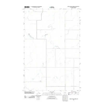
2011 Map of Sheep Coulee Spring
USGS Topo · Published 2011About this map
Sheep Coulee Spring sits at the heart of this dryland agricultural landscape in Chouteau County, where the topography is defined by the ephemeral drainages typical of north-central Montana. The map illustrates a reliance on managed water sources in an arid region, evidenced by infrastructure like Sheep Buyer Dam and Neikro Dam. Human presence is sparse, marked primarily by isolated agricultural landmarks such as the Hilltop Silo and a grid of secondary roads that facilitate movement across the prairie.
Find a feature on this map
9 named features on this map. Tap any name to fly to it.
Don’t see what you’re looking for? This feature index may not catch every label — zoom into the map to look around manually.
Map Details
Editions of this 2011 Sheep Coulee Spring Map
This is the sole edition of this map. No revisions or reprints were ever made.
Other maps of this area

1886 · Great Falls
USGS Topo · 1:250,000

1948 · Portage
USGS Topo · 1:62,500

1949 · Portage
USGS Topo · 1:62,500

1949 · Timber Coulee
USGS Topo · 1:62,500

1949 · Great Falls
USGS Topo · 1:62,500

1950 · Timber Coulee
USGS Topo · 1:62,500

1950 · Dent Bridge
USGS Topo · 1:62,500

1951 · Great Falls
USGS Topo · 1:62,500

1954 · Great Falls
USGS Topo · 1:250,000

1957 · Great Falls
USGS Topo · 1:250,000