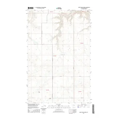
2017 Map of Sheep Coulee Spring
USGS Topo · Published 2017About this map
Sheep Coulee defines the drainage patterns of this high-plains landscape in Chouteau County. The area is characterized by a sparse network of water sources and significant topographical shifts, most notably at Sheep Coulee Spring. The map documents a rural infrastructure where section lines and local transit routes like Bootlegger Trl and Promised Land Rd dictate the movement across the territory. Further south, the terrain descends toward Alkali Coulee, while Wolf Coulee marks the northeastern corner. This detailed 2017 survey by the U.S. Geological Survey provides an intricate look at how water features and local roads intersect across the expansive township and range divisions of Central Montana.
Find a feature on this map
19 named features on this map. Tap any name to fly to it.
Don’t see what you’re looking for? This feature index may not catch every label — zoom into the map to look around manually.
Map Details
Editions of this 2017 Sheep Coulee Spring Map
This is the sole edition of this map. No revisions or reprints were ever made.
Other maps of this area

1886 · Great Falls
USGS Topo · 1:250,000

1948 · Portage
USGS Topo · 1:62,500

1949 · Portage
USGS Topo · 1:62,500

1949 · Timber Coulee
USGS Topo · 1:62,500

1949 · Great Falls
USGS Topo · 1:62,500

1950 · Timber Coulee
USGS Topo · 1:62,500

1950 · Dent Bridge
USGS Topo · 1:62,500

1951 · Great Falls
USGS Topo · 1:62,500

1954 · Great Falls
USGS Topo · 1:250,000

1957 · Great Falls
USGS Topo · 1:250,000