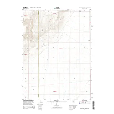
2014 Map of Sheep Creek Range SE
USGS Topo · Published 2014About this map
The high peaks of the Sheep Creek Range dominate the northwestern corner of this landscape, looking out over the wide, dry expanses of Boulder Valley and Boulder Flat. This 2014 survey documents a remote portion of the Great Basin where the border between Lander County and Eureka County cuts north-to-south through the desert terrain. Water is a defining but sparse element, with the seasonal drainage of Rock Cr winding through the western canyons while Boulder Cr marks the eastern flats. Human presence is limited to the single arterial Rock Creek Rd, reflecting the area's enduring character as open rangeland. The map provides a clear view of the topographic transition from the steep elevation changes in the range to the relatively level basin floor at the start of the 21st century.
Find a feature on this map
13 named features on this map. Tap any name to fly to it.
Don’t see what you’re looking for? This feature index may not catch every label — zoom into the map to look around manually.
Map Details
Editions of this 2014 Sheep Creek Range SE Map
This is the sole edition of this map. No revisions or reprints were ever made.
Other maps of this area

1955 · Winnemucca
USGS Topo · 1:250,000

1957 · Dunphy
USGS Topo · 1:62,500

1957 · Beowawe
USGS Topo · 1:62,500

1958 · Winnemucca
USGS Topo · 1:250,000

1962 · Winnemucca
USGS Topo · 1:250,000

1965 · Sheep Creek Range SW
USGS Topo · 1:24,000

1965 · Sheep Creek Range NE
USGS Topo · 1:24,000

1965 · Sheep Creek Range SE
USGS Topo · 1:24,000

1965 · Sheep Creek Range NW
USGS Topo · 1:24,000

1968 · Rodeo Creek SW
USGS Topo · 1:24,000