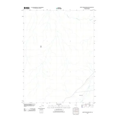
2012 Map of Sheep Creek Range SW
USGS Topo · Published 2012About this map
Sheep Creek Range dominates this portion of Lander County, where steep drainage patterns and intermittent tributaries define the high-desert terrain. The eastern slopes of the range descend toward the Boulder Valley, an area characterized by broad alluvial fans and the winding course of Rock Creek. This hydrological network is a defining element of the local geography, showing how water moves through the arid landscape before reaching the valley floor.
Find a feature on this map
4 named features on this map. Tap any name to fly to it.
Don’t see what you’re looking for? This feature index may not catch every label — zoom into the map to look around manually.
Map Details
Editions of this 2012 Sheep Creek Range SW Map
This is the sole edition of this map. No revisions or reprints were ever made.
Other maps of this area

1955 · Winnemucca
USGS Topo · 1:250,000

1957 · Dunphy
USGS Topo · 1:62,500

1957 · Battle Mountain
USGS Topo · 1:62,500

1958 · Winnemucca
USGS Topo · 1:250,000

1962 · Winnemucca
USGS Topo · 1:250,000

1965 · Izzenhood Gap
USGS Topo · 1:24,000

1965 · Sheep Creek Range SW
USGS Topo · 1:24,000

1965 · Sheep Creek Range NE
USGS Topo · 1:24,000

1965 · Sheep Creek Range SE
USGS Topo · 1:24,000

1965 · Sheep Creek Range NW
USGS Topo · 1:24,000