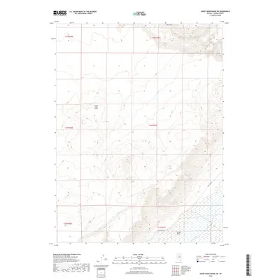
2018 Map of Sheep Creek Range SW
USGS Topo · Published 2018About this map
Boulder Valley occupies the southeastern corner of this quadrangle, presenting a low-lying contrast to the elevated terrain of the Sheep Creek Range. This section of Lander County is characterized by significant topographic relief, rising from the valley floor toward the heights of Black Mt in the north. The drainage of Rock Creek carves through the northern landscape, while the primary access into this remote high-desert environment is provided by Rock Creek Rd. Public Land Survey System grids, including t34n r47e, define the administrative boundaries of these sections, marking out a landscape shaped by vast open range and the natural watershed patterns of northern Nevada.
Find a feature on this map
11 named features on this map. Tap any name to fly to it.
Don’t see what you’re looking for? This feature index may not catch every label — zoom into the map to look around manually.
Map Details
Editions of this 2018 Sheep Creek Range SW Map
This is the sole edition of this map. No revisions or reprints were ever made.
Other maps of this area

1955 · Winnemucca
USGS Topo · 1:250,000

1957 · Dunphy
USGS Topo · 1:62,500

1957 · Battle Mountain
USGS Topo · 1:62,500

1958 · Winnemucca
USGS Topo · 1:250,000

1962 · Winnemucca
USGS Topo · 1:250,000

1965 · Izzenhood Gap
USGS Topo · 1:24,000

1965 · Sheep Creek Range SW
USGS Topo · 1:24,000

1965 · Sheep Creek Range NE
USGS Topo · 1:24,000

1965 · Sheep Creek Range SE
USGS Topo · 1:24,000

1965 · Sheep Creek Range NW
USGS Topo · 1:24,000