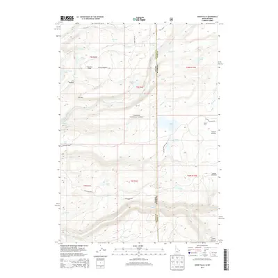
2013 Map of Sheep Falls
USGS Topo · Published 2013About this map
Targhee National Forest straddles the state line in this 2013 survey of the high plateau and drainage systems along the border of Idaho and Wyoming. The landscape is defined by a complex network of waterways, most notably the Fall River and its numerous tributaries such as Boone Cr, Squirrel Cr, and Granite Cr. The terrain reveals a pattern of high-altitude meadows and ridges, including Falls River Ridge and Putney Meadows, which provide clear context for the region's seasonal grazing and water management history. Evidence of land use is found at the Granite Creek Cow Camp and Weaver Ranch, while water resources are documented through features like the Bergman Reservoir and the namesake Sheep Falls. The map serves as a record of the wilderness as it appeared in the early 21st century, showing the intersection of forest service roads like the Ashton-Flagg Ranch Rd with the backcountry.
Find a feature on this map
51 named features on this map. Tap any name to fly to it.
Don’t see what you’re looking for? This feature index may not catch every label — zoom into the map to look around manually.
Map Details
Editions of this 2013 Sheep Falls Map
This is the sole edition of this map. No revisions or reprints were ever made.
Other maps of this area

1886 · Shoshone
USGS Topo · 1:125,000

1888 · Shoshone
USGS Topo · 1:125,000

1895 · Shoshone
USGS Topo · 1:125,000

1899 · Grand Teton
USGS Topo · 1:125,000

1901 · Shoshone
USGS Topo · 1:125,000

1901 · Grand Teton
USGS Topo · 1:125,000

1908 · Shoshone
USGS Topo · 1:125,000

1911 · Shoshone
USGS Topo · 1:125,000

1955 · Ashton
USGS Topo · 1:250,000

1955 · Driggs
USGS Topo · 1:250,000