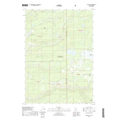
2020 Map of Sheep Falls
USGS Topo · Published 2020About this map
Targhee National Forest defines the character of this Idaho-Wyoming border region, where high-elevation meadowlands and complex water systems dominate the landscape. The map captures a high-plateau environment marked by the Fall River and its numerous tributaries, including Bitch Creek and Boone Cr. This 2020 survey reveals a geography of remote functionality, notably the Cow Camp located south of Jackass Cr, reflecting the area's continued use for grazing. Significant landmarks like Sheep Falls and Cave Falls suggest the topographical breaks that characterize the local river drainage patterns.
Find a feature on this map
51 named features on this map. Tap any name to fly to it.
Don’t see what you’re looking for? This feature index may not catch every label — zoom into the map to look around manually.
Map Details
Editions of this 2020 Sheep Falls Map
This is the sole edition of this map. No revisions or reprints were ever made.
Other maps of this area

1886 · Shoshone
USGS Topo · 1:125,000

1888 · Shoshone
USGS Topo · 1:125,000

1895 · Shoshone
USGS Topo · 1:125,000

1899 · Grand Teton
USGS Topo · 1:125,000

1901 · Shoshone
USGS Topo · 1:125,000

1901 · Grand Teton
USGS Topo · 1:125,000

1908 · Shoshone
USGS Topo · 1:125,000

1911 · Shoshone
USGS Topo · 1:125,000

1955 · Ashton
USGS Topo · 1:250,000

1955 · Driggs
USGS Topo · 1:250,000