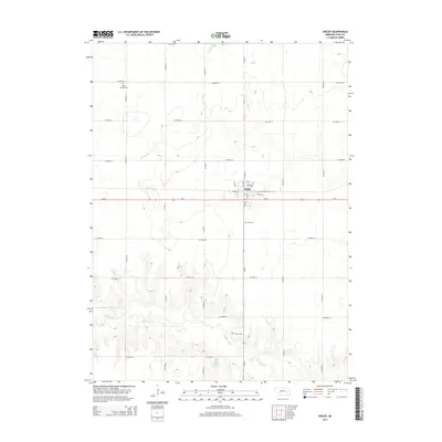
2014 Map of Shelby
USGS Topo · Published 2014About this map
Shelby anchors this portion of Polk County, situated along the intersection of Us-81 and Ne-69. The township's grid is defined by W Pine St and Pine St, surrounded by an extensive network of county roads that service the local agricultural landscape. The southern portion of the quadrangle is dominated by the winding course of the Big Blue River, which feeds into the Thelen Reservoir, a notable water feature in an otherwise flat prairie environment. Genealogists will find several burial grounds across the area, including Wesley Chapel Cem, Graceland Cem, Palo Cem, and the Thelen Cem located near the reservoir. The topography transitions from the organized town blocks of Shelby to the more varied terrain along the riverbanks, reflecting the region's reliance on both modern highway transport and natural water resources.
Find a feature on this map
25 named features on this map. Tap any name to fly to it.
Don’t see what you’re looking for? This feature index may not catch every label — zoom into the map to look around manually.
Map Details
Editions of this 2014 Shelby Map
This is the sole edition of this map. No revisions or reprints were ever made.
Other maps of this area

1896 · Stromsburg
USGS Topo · 1:125,000

1899 · David City
USGS Topo · 1:125,000

1955 · Fremont
USGS Topo · 1:250,000

1957 · Fremont
USGS Topo · 1:250,000

1958 · Fremont
USGS Topo · 1:250,000

1958 · Columbus SW
USGS Topo · 1:24,000

1958 · Silver Creek SE
USGS Topo · 1:24,000

1958 · Columbus SE
USGS Topo · 1:24,000
1965 · Stromsburg
USGS Topo · 1:24,000
1965 · Osceola
USGS Topo · 1:24,000