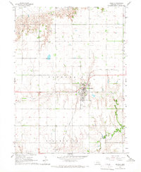
1965 Map of Osceola
USGS Topo · Published 1966About this map
The town of Osceola serves as the central hub of this Nebraska prairie landscape, where the grid-iron street pattern of the settlement meets the extensive agricultural sections of the Valley. Tracing through the township of Osceola, the Union Pacific railroad corridor dictates the path of industrial development, passing near the County Fairground and essential local infrastructure like the Substation. To the south, the topography transitions toward the Stromsburg township line, marked by the presence of the Stromsburg Airport. This mid-century survey illustrates a well-organized rural economy defined by water management and transport, with Davis Creek and the Big Blue River providing natural drainage across the flat terrain. Local genealogists will find value in the precise location of the Cem and numerous documented Well sites that sustained early farms.
Find a feature on this map
14 named features on this map. Tap any name to fly to it.
Don’t see what you’re looking for? This feature index may not catch every label — zoom into the map to look around manually.
Map Details
Editions of this 1965 Osceola Map
2 editions found
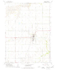
Other maps of this area

1896 · Stromsburg
USGS Topo · 1:125,000

1899 · David City
USGS Topo · 1:125,000

1955 · Fremont
USGS Topo · 1:250,000

1957 · Fremont
USGS Topo · 1:250,000

1958 · Fremont
USGS Topo · 1:250,000

1958 · Columbus SW
USGS Topo · 1:24,000

1958 · Silver Creek SE
USGS Topo · 1:24,000

1958 · Silver Creek
USGS Topo · 1:24,000
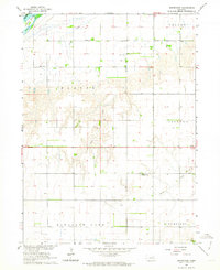
1962 · Swedehome
USGS Topo · 1:24,000
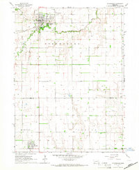
1965 · Stromsburg
USGS Topo · 1:24,000