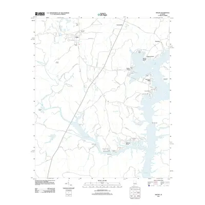
2011 Map of Shelby
USGS Topo · Published 2011About this map
Shelby and its surrounding landscape reflect the enduring importance of the Coosa River valley in Alabama. The settlement patterns shown here are defined by the expansive waters of Lay Lake, which dominates the eastern and southern portions of the sheet. The map reveals a high concentration of recreational and residential developments along the shoreline, including Wildwood Shores, Pine Grove Village, and Merrell Beach. These communities are interspersed with numerous sporting landmarks such as Etress Fish Camp, Bozos Camp, and the Lacoosa Marina.
Find a feature on this map
94 named features on this map. Tap any name to fly to it.
Don’t see what you’re looking for? This feature index may not catch every label — zoom into the map to look around manually.
Map Details
Editions of this 2011 Shelby Map
This is the sole edition of this map. No revisions or reprints were ever made.
Other maps of this area

1890 · Bessemer
USGS Topo · 1:125,000

1890 · Talladega
USGS Topo · 1:125,000

1891 · Clanton
USGS Topo · 1:125,000

1892 · Talladega
USGS Topo · 1:125,000

1892 · Bessemer
USGS Topo · 1:125,000

1901 · Wetumpka
USGS Topo · 1:125,000

1903 · Wetumpka
USGS Topo · 1:125,000

1909 · Columbiana
USGS Topo · 1:62,500

1911 · Columbiana
USGS Topo · 1:62,500

1915 · Gantts Quarry
USGS Topo · 1:48,000