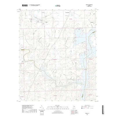
2018 Map of Shelby
USGS Topo · Published 2018About this map
Shelby sits at the intersection of a complex creek network and the impounded waters of the Coosa River. This 2018 survey documents a landscape where traditional Alabama settlements like Kewahatchie and Mostellers meet the modern recreational shoreline of Lay Lake. The presence of the Old Shelby Cem, Brasher Cem, and Gardens of Rest offers significant data points for genealogists tracking family roots in this corner of the state.
Find a feature on this map
106 named features on this map. Tap any name to fly to it.
Don’t see what you’re looking for? This feature index may not catch every label — zoom into the map to look around manually.
Map Details
Editions of this 2018 Shelby Map
This is the sole edition of this map. No revisions or reprints were ever made.
Other maps of this area

1890 · Bessemer
USGS Topo · 1:125,000

1890 · Talladega
USGS Topo · 1:125,000

1891 · Clanton
USGS Topo · 1:125,000

1892 · Talladega
USGS Topo · 1:125,000

1892 · Bessemer
USGS Topo · 1:125,000

1901 · Wetumpka
USGS Topo · 1:125,000

1903 · Wetumpka
USGS Topo · 1:125,000
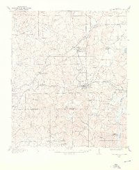
1909 · Columbiana
USGS Topo · 1:62,500
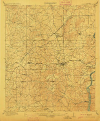
1911 · Columbiana
USGS Topo · 1:62,500
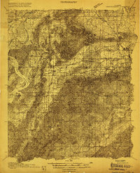
1915 · Gantts Quarry
USGS Topo · 1:48,000