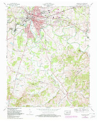
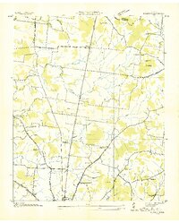
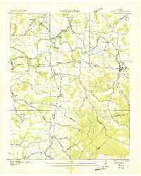
1966 Map of Shelbyville
USGS Topo · Published 1982About this map
The Tennessee Walking Horse National Celebration Grounds anchor the northern edge of Shelbyville, marking the town's unique cultural identity during this mid-century period. The Duck River winds south through the landscape, creating distinct landforms like Coney Island and Green Island while serving as a focal point for industry at Shelbyville Mills (Royal Station PO). Transportation is dominated by the Louisville and Nashville Railroad and a network of named routes like the Tullahoma Road and Sulphur Spring Road.
Find a feature on this map
119 named features on this map. Tap any name to fly to it.
Don’t see what you’re looking for? This feature index may not catch every label — zoom into the map to look around manually.
Map Details
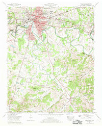
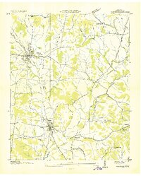
Editions of this 1966 Shelbyville Map
2 editions found
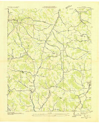
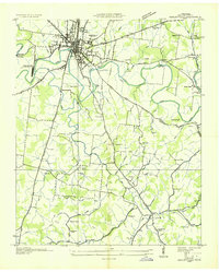
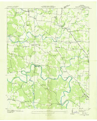
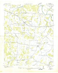
Other maps of this area
1936 · Booneville
USGS Topo · 1:24,000
1936 · Shelbyville
USGS Topo · 1:24,000
1936 · Deason
USGS Topo · 1:24,000

1936 · Cumberland Springs
USGS Topo · 1:24,000

1936 · Belleville
USGS Topo · 1:24,000
1936 · Wartrace
USGS Topo · 1:24,000
1936 · Unionville
USGS Topo · 1:24,000
1936 · Bedford
USGS Topo · 1:24,000
1936 · Normandy
USGS Topo · 1:24,000
1941 · Cumberland Springs
USGS Topo · 1:24,000