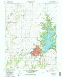
1981 Map of Shelbyville
USGS Topo · Published 1982About this map
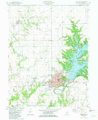
Shelbyville serves as the central hub of this 1981 survey, positioned at the edge of the expansive Lake Shelbyville. The town's grid is detailed with local landmarks such as the Courthouse, the Vine St Sch, and the Fairground. To the west, the landscape transitions into agricultural terrain marked by the Missouri Pacific and Conrail rail lines, which intersect near the town center. The map reveals a dense distribution of rural burial grounds, including Bethel Cem and Plank Cem, documenting the genealogy of the surrounding prairie. Along the eastern shore of the lake, recreational development is evident through features like the Lithia Springs Access Area and Shelby Country Club. The topography around Kaskaskia River shows the significant impact of the dam, creating a network of inlets like Coon Cove and Opossum Cove that reshaped the local geography from its earlier riverine state.
Find a feature on this map
52 named features on this map. Tap any name to fly to it.
Don’t see what you’re looking for? This feature index may not catch every label — zoom into the map to look around manually.
Map Details
Editions of this 1981 Shelbyville Map
2 editions found
Other maps of this area

1935 · Sullivan
USGS Topo · 1:48,000

1940 · Sullivan
USGS Topo · 1:62,500

1942 · Shelbyville
USGS Topo · 1:62,500

1946 · Shelbyville
USGS Topo · 1:62,500

1947 · Stewardson
USGS Topo · 1:62,500

1949 · Stewardson
USGS Topo · 1:62,500

1949 · Dalton City
USGS Topo · 1:62,500

1958 · Decatur
USGS Topo · 1:250,000

1961 · Decatur
USGS Topo · 1:250,000

1980 · Middlesworth
USGS Topo · 1:24,000