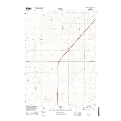
2015 Map of Sheldon Creek
USGS Topo · Published 2015About this map
Williams serves as the primary community hub on this landscape, situated near the southern boundary where agricultural lands meet the S Fork Iowa River. The region is defined by an extensive network of waterways and drainage improvements, including Sheldon Creek, DeLongs Cr, and Ditch Number 29, illustrating the management of the prairie for cultivation. Genealogists will find the Saint Pauls Lutheran Cem near 320th St, a significant landmark for tracing local family roots in this rural township. The map also records the transition from Wright County in the north to Hamilton County in the south, following the course of the Iowa River and its tributaries. The grid of roads, such as Dows Williams and Van Meter Ave, provides a clear view of the farm-to-market transportation system that sustains this part of the Iowa heartland.
Find a feature on this map
43 named features on this map. Tap any name to fly to it.
Don’t see what you’re looking for? This feature index may not catch every label — zoom into the map to look around manually.
Map Details
Editions of this 2015 Sheldon Creek Map
This is the sole edition of this map. No revisions or reprints were ever made.
Other maps of this area

1954 · Waterloo
USGS Topo · 1:250,000

1955 · Waterloo
USGS Topo · 1:250,000

1978 · Blairsburg
USGS Topo · 1:24,000

1978 · Clarion
USGS Topo · 1:24,000

1978 · Sheldon Creek
USGS Topo · 1:24,000

1978 · Dows West
USGS Topo · 1:24,000

1978 · Clarion SW
USGS Topo · 1:24,000

1978 · Williams
USGS Topo · 1:24,000

1979 · Dows East
USGS Topo · 1:24,000

1979 · Buckeye West
USGS Topo · 1:24,000