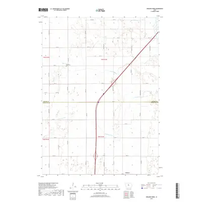
2018 Map of Sheldon Creek
USGS Topo · Published 2018About this map
Williams serves as the primary community anchor in this rural landscape, situated at the southern edge of the quadrangle where Hamilton and Wright counties meet. The terrain is defined by its complex drainage network, where the S Fork Iowa River and the Iowa River itself meander through agricultural fields. Human engineering of the watershed is evident through significant features like Ditch Number 29, illustrating how the wetlands and prairie potholes of central Iowa were historically managed for farming. The local history of the region is further grounded at Saint Pauls Lutheran Cem, a significant landmark for genealogists located near Taylor Ave. Smaller waterways including Sheldon Cr and DeLongs Cr create a natural texture across the grid of section roads and avenues that characterize this productive prairie region.
Find a feature on this map
42 named features on this map. Tap any name to fly to it.
Don’t see what you’re looking for? This feature index may not catch every label — zoom into the map to look around manually.
Map Details
Editions of this 2018 Sheldon Creek Map
This is the sole edition of this map. No revisions or reprints were ever made.
Other maps of this area

1954 · Waterloo
USGS Topo · 1:250,000

1955 · Waterloo
USGS Topo · 1:250,000

1978 · Blairsburg
USGS Topo · 1:24,000

1978 · Clarion
USGS Topo · 1:24,000

1978 · Sheldon Creek
USGS Topo · 1:24,000

1978 · Dows West
USGS Topo · 1:24,000

1978 · Clarion SW
USGS Topo · 1:24,000

1978 · Williams
USGS Topo · 1:24,000

1979 · Dows East
USGS Topo · 1:24,000

1979 · Buckeye West
USGS Topo · 1:24,000