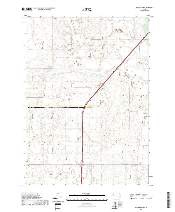
2022 Map of Sheldon Creek
USGS Topo · Published 2022About this map
The border between Wright and Hamilton Counties divides this agricultural landscape, where the rural character is defined by a grid of family-named roads and critical drainage infrastructure. The northern section is dominated by the upper reaches of Sheldon Creek and De Longs Creek, while the southern expanse is shaped by the winding course of the S Fork Iowa River. A significant cultural landmark sits along 320th St, where Saint Pauls Lutheran Church and its adjacent Saint Pauls Lutheran Cem serve as a long-standing center for the surrounding farmsteads. The importance of land management in this river basin is evidenced by Ditch Number 29, a clear indicator of the engineering required to sustain productive farming in the low-lying Iowan terrain near the main channel of the Iowa River.
Find a feature on this map
40 named features on this map. Tap any name to fly to it.
Don’t see what you’re looking for? This feature index may not catch every label — zoom into the map to look around manually.
Map Details
Editions of this 2022 Sheldon Creek Map
This is the sole edition of this map. No revisions or reprints were ever made.
Other maps of this area

1954 · Waterloo
USGS Topo · 1:250,000

1955 · Waterloo
USGS Topo · 1:250,000

1978 · Blairsburg
USGS Topo · 1:24,000

1978 · Clarion
USGS Topo · 1:24,000

1978 · Sheldon Creek
USGS Topo · 1:24,000

1978 · Dows West
USGS Topo · 1:24,000

1978 · Clarion SW
USGS Topo · 1:24,000

1978 · Williams
USGS Topo · 1:24,000

1979 · Dows East
USGS Topo · 1:24,000

1979 · Buckeye West
USGS Topo · 1:24,000