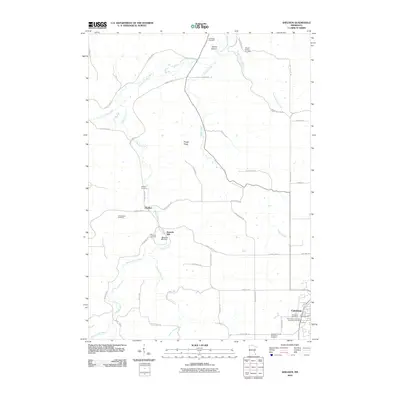
2010 Map of Sheldon
USGS Topo · Published 2010About this map
Schechs Mill and its associated Schechs Mill Dam stand as centerpiece landmarks in this corner of Houston County, where the waters of Beaver Creek and Badger Creek converge. The landscape is defined by the elevation of Hauge Ridge and the winding course of the South Fork Root River, which drains the northern reaches near Swede Bottom.
Find a feature on this map
47 named features on this map. Tap any name to fly to it.
Don’t see what you’re looking for? This feature index may not catch every label — zoom into the map to look around manually.
Map Details
Editions of this 2010 Sheldon Map
This is the sole edition of this map. No revisions or reprints were ever made.
Other maps of this area

1930 · La Crescent
USGS Topo · 1:62,500

1956 · Brownsville
USGS Topo · 1:62,500

1956 · La Crescent
USGS Topo · 1:62,500

1958 · Houston
USGS Topo · 1:62,500

1958 · La Crosse
USGS Topo · 1:250,000

1961 · La Crosse
USGS Topo · 1:250,000

1965 · La Crosse
USGS Topo · 1:250,000

1965 · Wilmington
USGS Topo · 1:24,000

1965 · Spring Grove
USGS Topo · 1:24,000

1965 · Sheldon
USGS Topo · 1:24,000