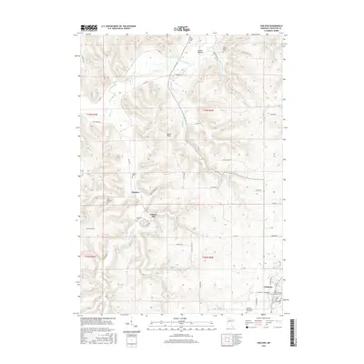
2016 Map of Sheldon
USGS Topo · Published 2016About this map
Schechs Mill and its adjacent Mill Pond stand as a central landmark in this Houston County landscape, where the S Fork Root River and its numerous tributaries carve through the driftless terrain. The settlement of Sheldon is situated along Beaver Cr, surrounded by a high density of small family and community burial grounds, including the Old Sheldon Cem, Messeral Cem, and Sheldon Cem. To the north, Swede Bottom occupies a valley floor near the confluence of Badger Cr and the river.
Find a feature on this map
53 named features on this map. Tap any name to fly to it.
Don’t see what you’re looking for? This feature index may not catch every label — zoom into the map to look around manually.
Map Details
Editions of this 2016 Sheldon Map
This is the sole edition of this map. No revisions or reprints were ever made.
Other maps of this area

1930 · La Crescent
USGS Topo · 1:62,500

1956 · Brownsville
USGS Topo · 1:62,500

1956 · La Crescent
USGS Topo · 1:62,500

1958 · Houston
USGS Topo · 1:62,500

1958 · La Crosse
USGS Topo · 1:250,000

1961 · La Crosse
USGS Topo · 1:250,000

1965 · La Crosse
USGS Topo · 1:250,000

1965 · Wilmington
USGS Topo · 1:24,000

1965 · Spring Grove
USGS Topo · 1:24,000

1965 · Sheldon
USGS Topo · 1:24,000