
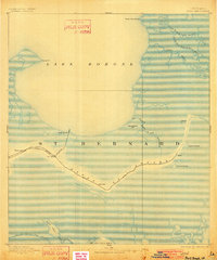
1893 Map of Shell Beach
USGS Topo · Published 1893About this map
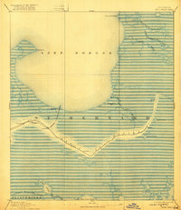
The Shell Beach Railroad terminates at the shoreline of Lake Borgne, marking a critical late-19th-century transit point between the interior wetlands and the coastal waters. This coastal landscape of St. Bernard is defined by a complex network of waterways, where the winding course of Bayou Loutre provides a natural corridor for settlements such as Yscloskey and Hopedale. Further east, the isolated fishing village of St. Malo sits near the East Branch Bayou St. Malo, illustrating the maritime-dependent life of this era before modern infrastructure transformed the delta.
Find a feature on this map
25 named features on this map. Tap any name to fly to it.
Don’t see what you’re looking for? This feature index may not catch every label — zoom into the map to look around manually.
Map Details
Editions of this 1893 Shell Beach Map
3 editions found
Other maps of this area

1891 · Pointe a La Hache
USGS Topo · 1:62,500

1892 · Chef Menteur
USGS Topo · 1:62,500

1892 · St. Bernard
USGS Topo · 1:62,500

1892 · Pointe a La Hache
USGS Topo · 1:62,500

1893 · Rigolets
USGS Topo · 1:62,500

1893 · La Fortuna
USGS Topo · 1:62,500

1893 · Toulme
USGS Topo · 1:62,500

1893 · Dime
USGS Topo · 1:62,500

1895 · Bodreau
USGS Topo · 1:62,500

1935 · Lake Athanasio
USGS Topo · 1:31,680