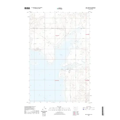
2020 Map of Shell Creek Bay
USGS Topo · Published 2020About this map
Lake Sakakawea dominates this North Dakota landscape, where the waters of the Missouri River have transformed the terrain into a complex system of inlets and peninsulas. The map documents the extensive reach of the Van Hook Arm and the protected waters of Shell Creek Bay, illustrating how the mid-century damming of the river reshaped Mountrail County. On the higher ground overlooking the water, the Van Hook Cem remains as a significant landmark for local family history, situated near a grid of local roads like 38th St NW. The drainage patterns of Shell Cr and the E Fork Shell Cr feed into the bay from the north and east, tracing the original coulees and valleys that now sit at the edge of this massive reservoir system.
Find a feature on this map
19 named features on this map. Tap any name to fly to it.
Don’t see what you’re looking for? This feature index may not catch every label — zoom into the map to look around manually.
Map Details
Editions of this 2020 Shell Creek Bay Map
This is the sole edition of this map. No revisions or reprints were ever made.
Other maps of this area

1953 · Williston
USGS Topo · 1:250,000

1953 · Watford City
USGS Topo · 1:250,000

1957 · Williston
USGS Topo · 1:250,000

1957 · Watford City
USGS Topo · 1:250,000

1967 · Watford City
USGS Topo · 1:250,000

1967 · New Town SW
USGS Topo · 1:24,000

1967 · Parshall SW
USGS Topo · 1:24,000

1967 · New Town SE
USGS Topo · 1:24,000

1981 · Belden SW
USGS Topo · 1:24,000

1981 · New Town
USGS Topo · 1:24,000