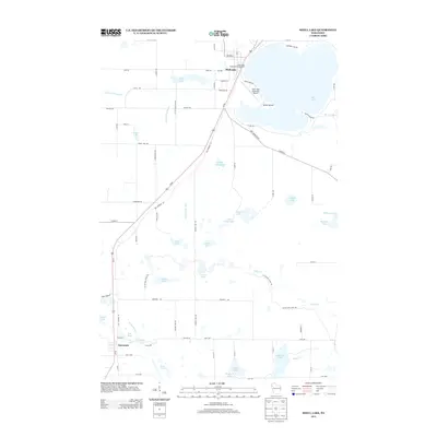
2013 Map of Shell Lake
USGS Topo · Published 2013About this map
Shell Lake anchors the northern portion of this landscape, its expansive shoreline dotted with recreational and municipal developments including the Municipal Campground and the Shell Lake Municipal Airport. This 2013 survey illustrates the dense network of kettle lakes and drainages characteristic of the region, ranging from the isolated waters of Hogback Lake and Butternut Lake in the south to the larger Round Lake and Long Lake further north. The settlement of Barronett sits near the southwestern corner, positioned along the transportation corridor of Old Highway 63. Water management and natural flow are evident in the presence of Mill Pond along the Yellow River, while the headwaters of the N Fork Clam River snake through the western woodlands. The map also traces the Ice Age National Scenic Trail as it winds past Grassy Lake and Boyer Cr, highlighting the area's glacial legacy.
Find a feature on this map
79 named features on this map. Tap any name to fly to it.
Don’t see what you’re looking for? This feature index may not catch every label — zoom into the map to look around manually.
Map Details
Editions of this 2013 Shell Lake Map
This is the sole edition of this map. No revisions or reprints were ever made.
Other maps of this area

1948 · Spooner
USGS Topo · 1:48,000

1949 · Hertel
USGS Topo · 1:48,000

1949 · Spooner
USGS Topo · 1:48,000

1951 · Cumberland
USGS Topo · 1:48,000

1951 · Shell Lake
USGS Topo · 1:48,000

1953 · Rice Lake
USGS Topo · 1:250,000

1953 · Stillwater
USGS Topo · 1:250,000

1955 · Hertel
USGS Topo · 1:62,500

1955 · Stillwater
USGS Topo · 1:250,000

1956 · Cumberland
USGS Topo · 1:62,500