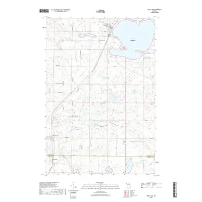
2018 Map of Shell Lake
USGS Topo · Published 2018About this map
The glacial waters of Shell Lake dominate this northwest Wisconsin landscape, which sits at the boundary of Washburn Co and Barron Co. The community of Barronett anchors the southwestern corner of the sheet, where the headwaters of the Yellow River and Mill Pond transition into a dense network of wetlands and small lakes like Deep Lake and Deer Lake. A significant portion of the Ice Age National Scenic Trail winds through the central and southern sections, tracing the topographical remnants of the region's glacial history near Johnson Lake and Leaman Lake.
Find a feature on this map
73 named features on this map. Tap any name to fly to it.
Don’t see what you’re looking for? This feature index may not catch every label — zoom into the map to look around manually.
Map Details
Editions of this 2018 Shell Lake Map
This is the sole edition of this map. No revisions or reprints were ever made.
Other maps of this area

1948 · Spooner
USGS Topo · 1:48,000

1949 · Hertel
USGS Topo · 1:48,000

1949 · Spooner
USGS Topo · 1:48,000

1951 · Cumberland
USGS Topo · 1:48,000

1951 · Shell Lake
USGS Topo · 1:48,000

1953 · Rice Lake
USGS Topo · 1:250,000

1953 · Stillwater
USGS Topo · 1:250,000

1955 · Hertel
USGS Topo · 1:62,500

1955 · Stillwater
USGS Topo · 1:250,000

1956 · Cumberland
USGS Topo · 1:62,500