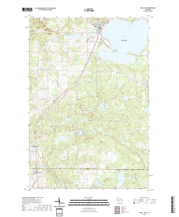
2022 Map of Shell Lake
USGS Topo · Published 2022About this map
Shell Lake anchors the northern landscape of this region, serving as a focal point for the city that bears its name. The civic importance of the area is noted by the presence of the Washburn County Courthouse and the Northwood Technical College Health Education Center situated near the water's edge. To the south, the settlement of Barronett sits along the rail line and Old Hwy 63, marking a distinct cluster of development amid a dense network of glacial water bodies and wetlands.
Find a feature on this map
65 named features on this map. Tap any name to fly to it.
Don’t see what you’re looking for? This feature index may not catch every label — zoom into the map to look around manually.
Map Details
Editions of this 2022 Shell Lake Map
This is the sole edition of this map. No revisions or reprints were ever made.
Other maps of this area

1948 · Spooner
USGS Topo · 1:48,000

1949 · Hertel
USGS Topo · 1:48,000

1949 · Spooner
USGS Topo · 1:48,000

1951 · Cumberland
USGS Topo · 1:48,000

1951 · Shell Lake
USGS Topo · 1:48,000

1953 · Rice Lake
USGS Topo · 1:250,000

1953 · Stillwater
USGS Topo · 1:250,000

1955 · Hertel
USGS Topo · 1:62,500

1955 · Stillwater
USGS Topo · 1:250,000

1956 · Cumberland
USGS Topo · 1:62,500