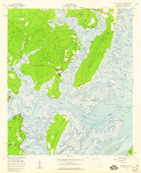
1954 Map of Shellman Bluff
USGS Topo · Published 1959About this map
Harris Neck dominates the upper reaches of this coastal landscape, where the Julienton River and Eagle Neck Creek weave through a network of tidal marshes and dense woodlands. The map captures a maritime community defined by its proximity to the water, featuring fishing and landing spots like Shellman Bluff, Gould Landing, and Sutherland Bluff. These bluffs provided essential high-ground access for residents in an era where the local economy relied heavily on the surrounding rivers and sounds.
Find a feature on this map
43 named features on this map. Tap any name to fly to it.
Don’t see what you’re looking for? This feature index may not catch every label — zoom into the map to look around manually.
Map Details
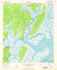
Editions of this 1954 Shellman Bluff Map
2 editions found
Other maps of this area

1920 · Sapelo River
USGS Topo · 1:62,500

1920 · Cabretta Island
USGS Topo · 1:62,500

1921 · Darien
USGS Topo · 1:62,500

1928 · St Catherines Island
USGS Topo · 1:62,500

1943 · St Catherines Island
USGS Topo · 1:62,500

1943 · Sapelo River
USGS Topo · 1:62,500

1944 · Cabretta Island
USGS Topo · 1:62,500

1945 · St. Catherine's Island
USGS Topo · 1:62,500

1945 · Sapelo River
USGS Topo · 1:62,500

1946 · Brunswick
USGS Topo · 1:250,000