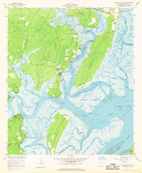
1954 Map of Shellman Bluff
USGS Topo · Published 1969About this map
Shellman Bluff and the surrounding coastal marshlands are defined by a complex web of tidal rivers and islands during the mid-1950s. This survey, grounded in hydrography from the Department of Commerce, reveals the intricate connections between the Sapelo River, Julienton River, and the Intracostal Waterway as they wind toward Sapelo Sound. Coastal settlements like Crescent, Pine Harbor, and Sutherland Bluff cling to the higher ground of the points and necks, while larger landmasses like Harris Neck and Creighton Island are separated by the Creighton Narrows. Local landmarks such as Friendship Ch, Gould Branch Ch, and several Artesian Wells point to established rural communities. The map also records early industrial activity at a Borrow Pit and various structures including a Rotating Light and several Ruins.
Find a feature on this map
44 named features on this map. Tap any name to fly to it.
Don’t see what you’re looking for? This feature index may not catch every label — zoom into the map to look around manually.
Map Details
Editions of this 1954 Shellman Bluff Map
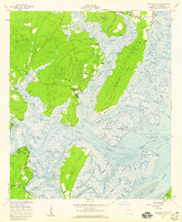
2 editions found
Other maps of this area

1920 · Sapelo River
USGS Topo · 1:62,500

1920 · Cabretta Island
USGS Topo · 1:62,500

1921 · Darien
USGS Topo · 1:62,500

1928 · St Catherines Island
USGS Topo · 1:62,500

1943 · St Catherines Island
USGS Topo · 1:62,500

1943 · Sapelo River
USGS Topo · 1:62,500

1944 · Cabretta Island
USGS Topo · 1:62,500

1945 · St. Catherine's Island
USGS Topo · 1:62,500

1945 · Sapelo River
USGS Topo · 1:62,500

1946 · Brunswick
USGS Topo · 1:250,000