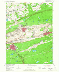
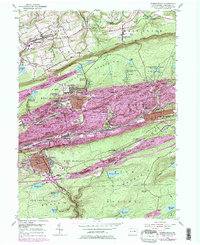
1955 Map of Shenandoah
USGS Topo · Published 1965About this map
The anthracite coal heritage of Schuylkill County is visible across the rugged industrial landscape between Locust Mountain and Broad Mountain. Centered on the dense urban grids of Shenandoah and Mahanoy City, the map reveals a mid-century network of colliery settlements and post offices such as East William Penn and Morea. The era's heavy dependence on rail is evident in the tracks of the Reading, Lehigh Valley, and Pennsylvania railroads that thread through the Mahanoy Valley.
Find a feature on this map
97 named features on this map. Tap any name to fly to it.
Don’t see what you’re looking for? This feature index may not catch every label — zoom into the map to look around manually.
Map Details
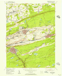
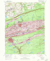
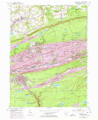
Editions of this 1955 Shenandoah Map
5 editions found
Other maps of this area

1889 · Catawissa
USGS Topo · 1:62,500

1889 · Pottsville
USGS Topo · 1:62,500

1891 · Pottsville
USGS Topo · 1:62,500

1892 · Catawissa
USGS Topo · 1:62,500

1892 · Mahanoy
USGS Topo · 1:62,500

1892 · Pine Grove
USGS Topo · 1:62,500

1893 · Mahanoy
USGS Topo · 1:62,500

1894 · Catawissa
USGS Topo · 1:62,500

1944 · Pottsville
USGS Topo · 1:24,000

1944 · Orwigsburg
USGS Topo · 1:24,000