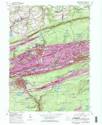
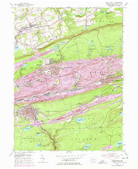
1955 Map of Shenandoah
USGS Topo · Published 1978About this map
Catawissa Valley and the surrounding coal ridges of Schuylkill County define this mid-century landscape, which was updated through the 1970s. The northern agricultural terrain around Ringtown and Brandonville contrasts sharply with the industrial corridor to the south, where towns like Shenandoah and Mahanoy City were built over extensive mining works. The infrastructure of the anthracite industry is visible in the network of Conrail lines, numerous reservoirs such as Eisenhuth Reservoir and the Kehly Run Reservoirs, and the distinct colliery locations like Morea. Grounded local landmarks include the Old White Ch in the north and the Peddlars Grave on Locust Mountain, while the urban centers of Frackville and Gilberton reflect the high-density settlement patterns necessitated by the narrow valley floors and the dominance of the coal economy.
Find a feature on this map
87 named features on this map. Tap any name to fly to it.
Don’t see what you’re looking for? This feature index may not catch every label — zoom into the map to look around manually.
Map Details
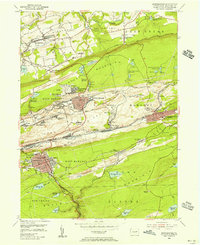
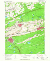
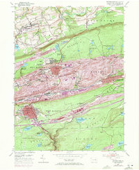
Editions of this 1955 Shenandoah Map
5 editions found
Other maps of this area

1889 · Catawissa
USGS Topo · 1:62,500

1889 · Pottsville
USGS Topo · 1:62,500

1891 · Pottsville
USGS Topo · 1:62,500

1892 · Catawissa
USGS Topo · 1:62,500

1892 · Mahanoy
USGS Topo · 1:62,500

1892 · Pine Grove
USGS Topo · 1:62,500

1893 · Mahanoy
USGS Topo · 1:62,500

1894 · Catawissa
USGS Topo · 1:62,500

1944 · Pottsville
USGS Topo · 1:24,000

1944 · Orwigsburg
USGS Topo · 1:24,000