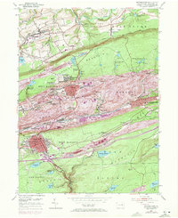
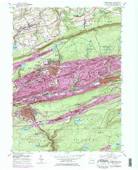
1955 Map of Shenandoah
USGS Topo · Published 1971About this map
Shenandoah sits at the heart of this Schuylkill County coal region survey, illustrating the dense industrial and residential layout of the mid-20th century. The landscape is defined by its deep mining heritage, evidenced by the East William Penn Shaft (P O) and the sprawling network of coal-related infrastructure connecting Mahanoy City and Frackville. Significant terrain features like Locus Mountain and Bear Ridge channel the rail corridors of the Reading, Lehigh Valley, and Penn Central lines, which were critical for moving anthracite.
Find a feature on this map
99 named features on this map. Tap any name to fly to it.
Don’t see what you’re looking for? This feature index may not catch every label — zoom into the map to look around manually.
Map Details
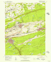
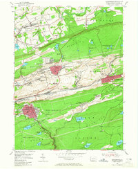
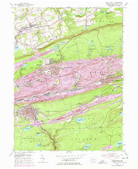
Editions of this 1955 Shenandoah Map
5 editions found
Other maps of this area

1889 · Catawissa
USGS Topo · 1:62,500

1889 · Pottsville
USGS Topo · 1:62,500

1891 · Pottsville
USGS Topo · 1:62,500

1892 · Catawissa
USGS Topo · 1:62,500

1892 · Mahanoy
USGS Topo · 1:62,500

1892 · Pine Grove
USGS Topo · 1:62,500

1893 · Mahanoy
USGS Topo · 1:62,500

1894 · Catawissa
USGS Topo · 1:62,500

1944 · Pottsville
USGS Topo · 1:24,000

1944 · Orwigsburg
USGS Topo · 1:24,000