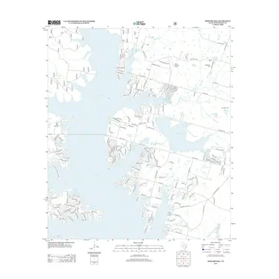
2013 Map of Shepard Hill
USGS Topo · Published 2013About this map
The extensive waters of Lake Paula and the Lewis Cr Reservoir dominate this Montgomery County landscape, illustrating the significant hydraulic development of the region. On the northern shores, the residential patterns of Johnson Bluff, Runnymeade, and the older high ground at Shepard Hill reflect the area's transition into a lakeside community. The local economy is represented by the Willis Oil Field, while aviation interests are marked by the Gdap Air Ranch Airport and Flying Hare Airport.
Find a feature on this map
180 named features on this map. Tap any name to fly to it.
Don’t see what you’re looking for? This feature index may not catch every label — zoom into the map to look around manually.
Map Details
Editions of this 2013 Shepard Hill Map
This is the sole edition of this map. No revisions or reprints were ever made.
Other maps of this area

1954 · Beaumont
USGS Topo · 1:250,000

1957 · Beaumont
USGS Topo · 1:250,000

1958 · Conroe
USGS Topo · 1:24,000

1958 · Cowl Spur
USGS Topo · 1:24,000

1958 · Lake Paula
USGS Topo · 1:24,000

1959 · Moore Grove
USGS Topo · 1:24,000

1959 · San Jacinto
USGS Topo · 1:24,000

1959 · Montgomery
USGS Topo · 1:24,000

1960 · Willis
USGS Topo · 1:24,000

1960 · New Waverly
USGS Topo · 1:24,000