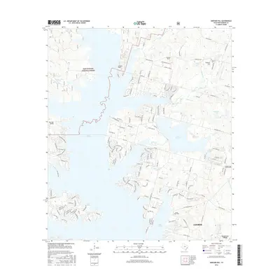
2016 Map of Shepard Hill
USGS Topo · Published 2016About this map
Sam Houston National Forest dominates the northwestern reaches of this Montgomery County landscape, where the terrain breaks toward the expansive Lake Conroe. The map reveals a complex interface between protected woodlands and significant residential development, particularly around Panorama Village and the northern outskirts of Conroe. The presence of numerous small water bodies, such as Williamson Lake, Calfee Lake, and Hulon Lake, indicates a geography shaped by both natural drainage and modern water management.
Find a feature on this map
187 named features on this map. Tap any name to fly to it.
Don’t see what you’re looking for? This feature index may not catch every label — zoom into the map to look around manually.
Map Details
Editions of this 2016 Shepard Hill Map
This is the sole edition of this map. No revisions or reprints were ever made.
Other maps of this area

1954 · Beaumont
USGS Topo · 1:250,000

1957 · Beaumont
USGS Topo · 1:250,000

1958 · Conroe
USGS Topo · 1:24,000

1958 · Cowl Spur
USGS Topo · 1:24,000

1958 · Lake Paula
USGS Topo · 1:24,000

1959 · Moore Grove
USGS Topo · 1:24,000

1959 · San Jacinto
USGS Topo · 1:24,000

1959 · Montgomery
USGS Topo · 1:24,000

1960 · Willis
USGS Topo · 1:24,000

1960 · New Waverly
USGS Topo · 1:24,000