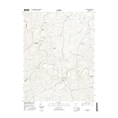
2016 Map of Sherburne
USGS Topo · Published 2016About this map
Upper Blue Licks and Sherburne anchor this survey of the tri-county borderlands where Nicholas, Fleming, and Bath counties meet. The landscape is defined by the winding course of the Licking River, which is spanned here by both the Sherburne Bridge and the distinctively named The Iron Bridge to the north. Smaller communities like Milltown, Battle Run, and Hill Top are scattered across the higher ground, connected by a network of winding roads such as Pecks Ridge -Tilton Rd and Hillbilly Rd.
Find a feature on this map
81 named features on this map. Tap any name to fly to it.
Don’t see what you’re looking for? This feature index may not catch every label — zoom into the map to look around manually.
Map Details
Editions of this 2016 Sherburne Map
This is the sole edition of this map. No revisions or reprints were ever made.
Other maps of this area

1929 · Salt Lick
USGS Topo · 1:62,500

1934 · Salt Lick
USGS Topo · 1:62,500

1951 · Hillsboro
USGS Topo · 1:24,000

1951 · Flemingsburg
USGS Topo · 1:24,000

1952 · Cowan
USGS Topo · 1:24,000

1952 · Owingsville
USGS Topo · 1:24,000

1952 · Sharpsburg
USGS Topo · 1:24,000

1952 · Sherburne
USGS Topo · 1:24,000

1952 · Elizaville
USGS Topo · 1:24,000

1953 · Moorefield
USGS Topo · 1:24,000