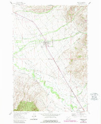
1963 Map of Sheridan
USGS Topo · Published 1989About this map
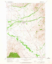
The town of Sheridan serves as the focal point of this Madison County survey, situated in the heart of the fertile Ruby Valley. The landscape is defined by a sophisticated network of water management, with numerous irrigation features like the West Bench Canal, Carey Ditch, and Bouge Lateral branching off the Ruby River. These systems demonstrate the agrarian foundation of the region during the mid-20th century, supporting the small settlements that dot the valley floor.
Find a feature on this map
50 named features on this map. Tap any name to fly to it.
Don’t see what you’re looking for? This feature index may not catch every label — zoom into the map to look around manually.
Map Details
Editions of this 1963 Sheridan Map
2 editions found
Other maps of this area

1893 · Dillon
USGS Topo · 1:250,000

1955 · Dillon
USGS Topo · 1:250,000

1957 · Dillon
USGS Topo · 1:250,000

1958 · Dillon
USGS Topo · 1:250,000

1960 · Twin Bridges
USGS Topo · 1:62,500

1960 · Waterloo
USGS Topo · 1:62,500

1961 · Beaverhead Rock SE
USGS Topo · 1:24,000

1962 · Dillon
USGS Topo · 1:250,000
1962 · Beaverhead Rock NE
USGS Topo · 1:24,000
1963 · Sheridan
USGS Topo · 1:24,000