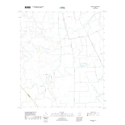
2019 Map of Sheridan NE
USGS Topo · Published 2019About this map
Sandy Creek and its many branches, including East Sandy Creek, Middle Sandy Creek, and West Sandy Creek, dominate the drainage of this agricultural landscape along the Colorado and Lavaca county line. The territory is defined by large-scale water management for ranching or irrigation, evidenced by the presence of the Leher Canal in the northeast and private catchments like Kallina Reservoir and Engstrom Lake Number 1. Named roads such as Ceder Post Ranch Road, Reeves-Bass Road, and Willenborg Way suggest long-standing local family holdings. This recent survey illustrates a rural Texas landscape where traditional property lines and natural watercourses remain the primary geographic features, relatively undisturbed by dense urban development.
Find a feature on this map
36 named features on this map. Tap any name to fly to it.
Don’t see what you’re looking for? This feature index may not catch every label — zoom into the map to look around manually.
Map Details
Editions of this 2019 Sheridan NE Map
This is the sole edition of this map. No revisions or reprints were ever made.
Other maps of this area

1953 · Seguin
USGS Topo · 1:250,000

1956 · Glidden
USGS Topo · 1:62,500

1957 · Eagle Lake
USGS Topo · 1:62,500

1957 · Altair
USGS Topo · 1:24,000

1958 · Seguin
USGS Topo · 1:250,000

1959 · Garwood
USGS Topo · 1:24,000

1964 · Speaks
USGS Topo · 1:24,000

1965 · Sawmill Branch
USGS Topo · 1:24,000

1965 · Rock Island
USGS Topo · 1:24,000
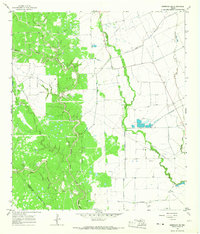
1965 · Sheridan NE
USGS Topo · 1:24,000