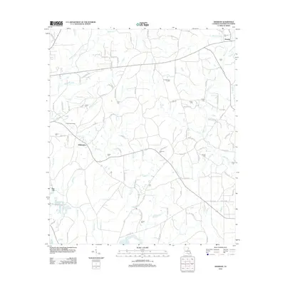
2012 Map of Sheridan
USGS Topo · Published 2012About this map
Sheridan and the community of Springhill anchor this rural landscape in Washington Parish, where the local economy and geography are defined by a network of bayous and creeks. The terrain is divided by watercourses such as Bogue Lusa Cr and Black Bayou, with numerous small family and community cemeteries documenting the area's genealogical history. Notable burial sites including Creel Cem, Magee Cem, and Simmons Cem are scattered across the quadrangle, often situated near winding parish roads and timberlands. Transportation is facilitated by the Franklinton Airport and a grid of rural routes like Zona Rd and Dummyline Rd 1. The map captures a transition between low-lying swampy bayous and the slightly higher ground that supports the small settlements and airfields of this corner of Louisiana.
Find a feature on this map
104 named features on this map. Tap any name to fly to it.
Don’t see what you’re looking for? This feature index may not catch every label — zoom into the map to look around manually.
Map Details
Editions of this 2012 Sheridan Map
This is the sole edition of this map. No revisions or reprints were ever made.
Other maps of this area

1939 · Zona
USGS Topo · 1:31,680

1939 · Clifton
USGS Topo · 1:31,680

1942 · Thigpen
USGS Topo · 1:31,680

1942 · Rio
USGS Topo · 1:31,680

1942 · Thomas
USGS Topo · 1:31,680

1949 · Bogalusa West
USGS Topo · 1:31,680

1950 · Folsom
USGS Topo · 1:31,680

1950 · Crains Creek
USGS Topo · 1:31,680

1950 · Franklinton
USGS Topo · 1:31,680

1953 · Mobile
USGS Topo · 1:250,000