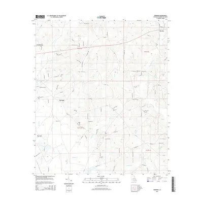
2015 Map of Sheridan
USGS Topo · Published 2015About this map
Franklinton and the rural crossroads of Sheridan anchor this Washington Parish landscape, where the headwaters of numerous creeks carve through the piney woods of southeastern Louisiana. The map reveals a high density of family burial grounds, including the Simmons Cem, Magee Cem, and Thigpen Cem, reflecting the deep ancestral roots of the local community. These cemeteries are often located near long-established homesteads along winding routes like McCain Rd W and Creel Cemetery Rd.
Find a feature on this map
73 named features on this map. Tap any name to fly to it.
Don’t see what you’re looking for? This feature index may not catch every label — zoom into the map to look around manually.
Map Details
Editions of this 2015 Sheridan Map
This is the sole edition of this map. No revisions or reprints were ever made.
Other maps of this area

1939 · Zona
USGS Topo · 1:31,680

1939 · Clifton
USGS Topo · 1:31,680

1942 · Thigpen
USGS Topo · 1:31,680

1942 · Rio
USGS Topo · 1:31,680

1942 · Thomas
USGS Topo · 1:31,680

1949 · Bogalusa West
USGS Topo · 1:31,680

1950 · Folsom
USGS Topo · 1:31,680

1950 · Crains Creek
USGS Topo · 1:31,680

1950 · Franklinton
USGS Topo · 1:31,680

1953 · Mobile
USGS Topo · 1:250,000